


5G Fast CloudMap Platform
Breaking Spatial Boundaries — Measurement with "Zero Time Delay"
http://en5g.goslamapping.com
-
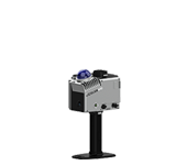
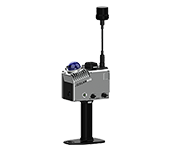
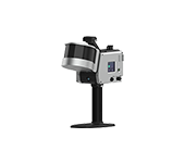
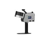
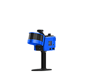
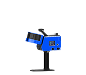
Product Introduction
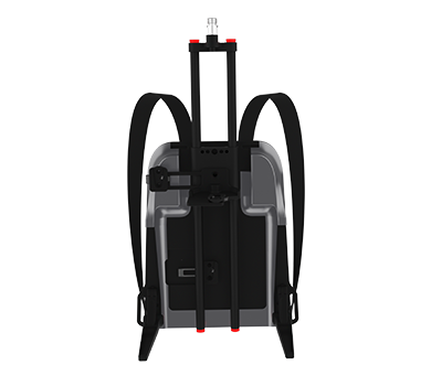
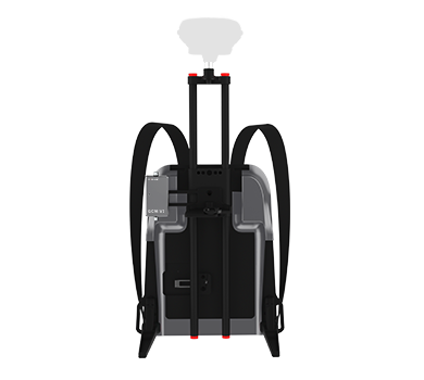
When GoSLAM Mobile LiDAR SLAM Meets 5G High-Speed Networks, a Revolution in "Real-Time Performance" Begins!
· No complex wiring required;
· No waiting for data transfer;
· Handheld device scans and transmits instantly;
· Every on-site detail "recreated in real time" on the command center's screen.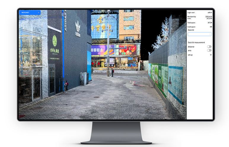
-
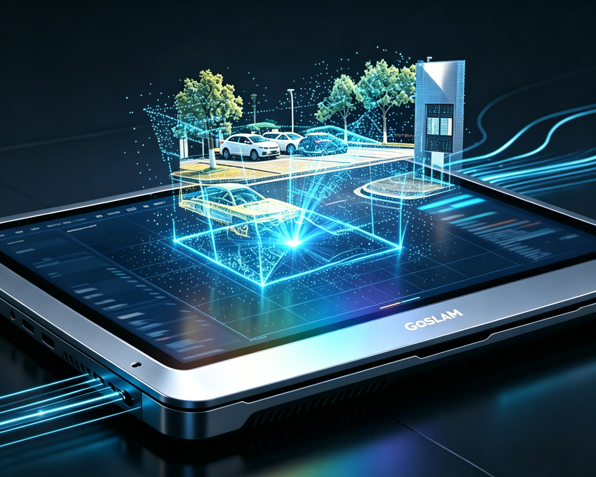
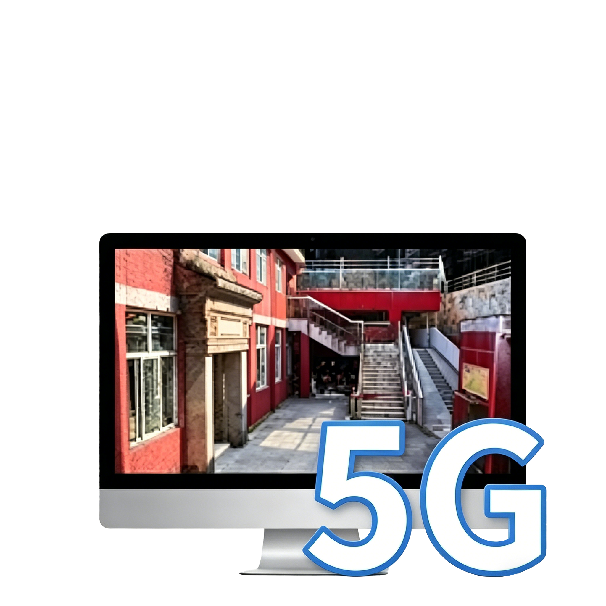
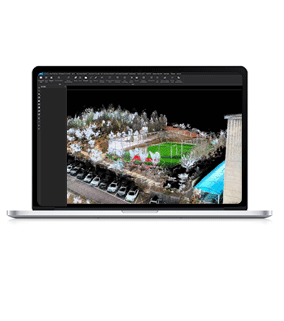
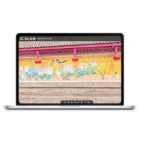
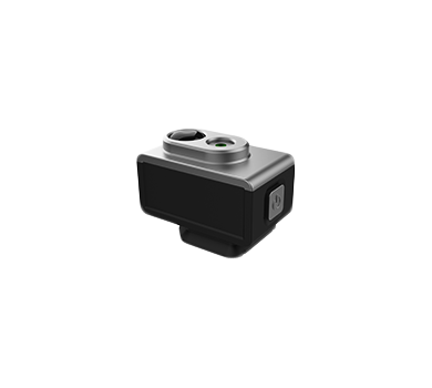
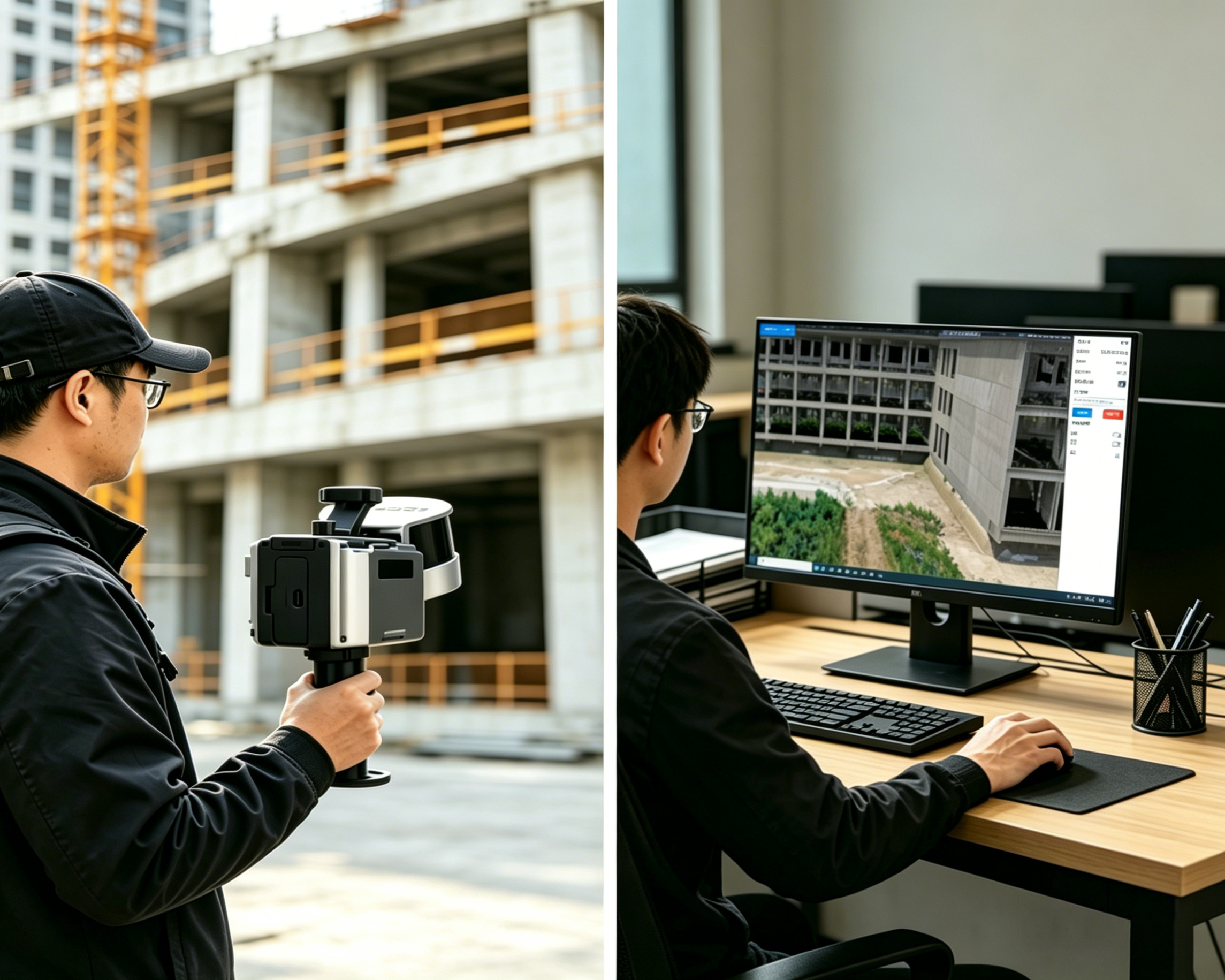
Real-time color point cloud transmission
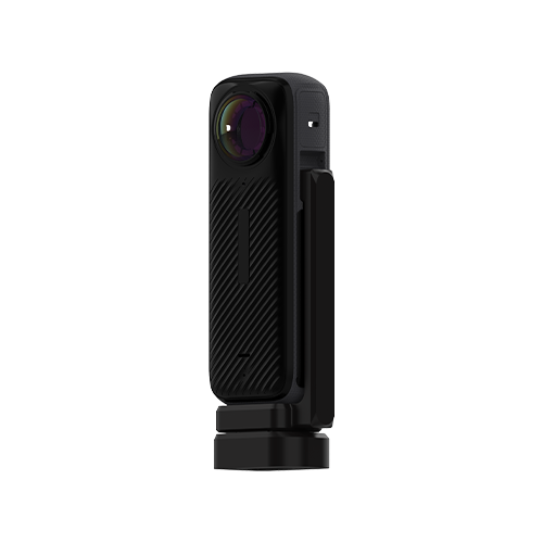
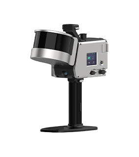
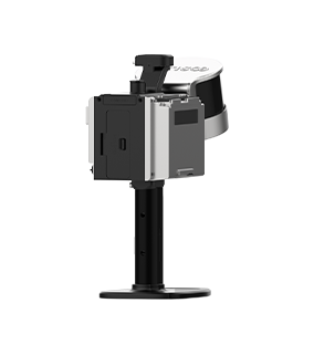
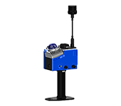
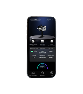
Operators hold GoSLAM laser scanner to collect spatial data on site,With 5G high-speed transmission, real-time color point cloud data can be output simultaneously, enriching the means of obtaining on-site information and restoring the scene to the greatest extent.
-
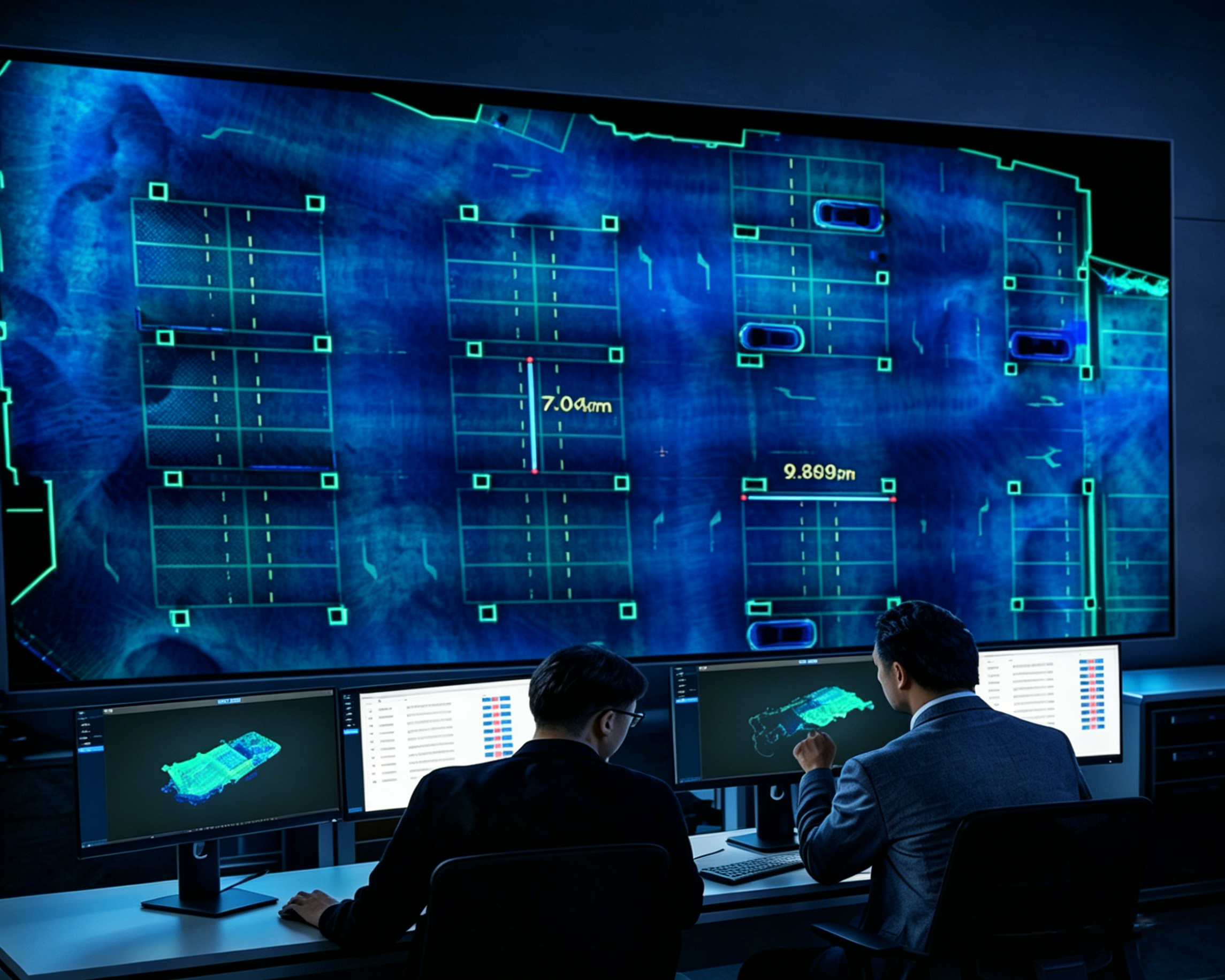
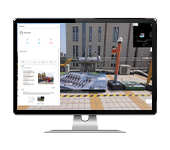
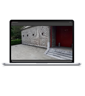
Cloud-based online precision measurement
The platform features built-in professional measurement tools, supporting various online measurement functions such as length, area, distance, and elevation difference. No need to download specialized software or install local programs – one-click login via a browser allows operation. Quick measurements with simple clicks, delivering accurate and reliable data to meet daily needs such as surveying and mapping, hazard detection, and dimensional verification.
-
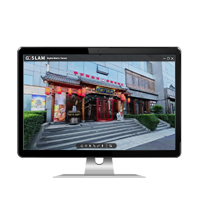
Remote collaborative work
Field personnel and back-end experts or commanders can view the 3D point cloud model on the same screen, communicate and analyze in real time remotely. This eliminates fragmented communication via photos and videos, reducing overall communication costs by up to 70%.
-

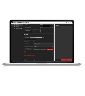
Lightweight cloud management
Unified storage of point cloud data in the cloud, with categorization, archiving, on-demand retrieval, and backup. Supports multi-terminal access – both computers and tablets can view online, flexibly adapting to various use scenarios such as outdoor operations, indoor office work, and remote command.