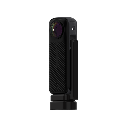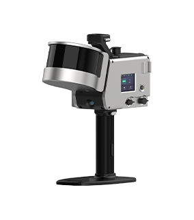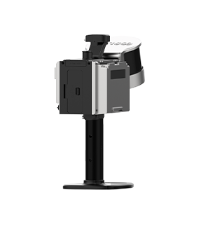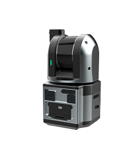
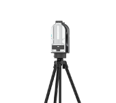
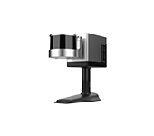
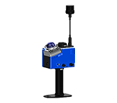
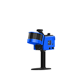



GoScan: Capture The Real World Just Like Taking A Photo
Get it done in 1 hour: scan, view, and use instantly
-
Product Introduction
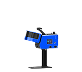
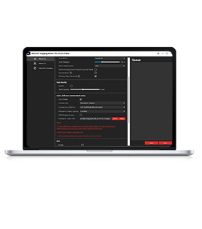
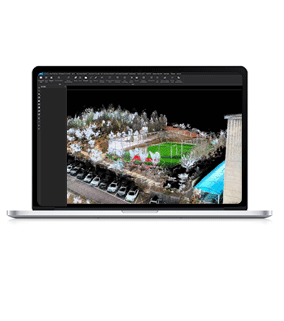
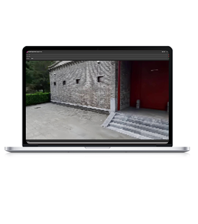
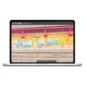
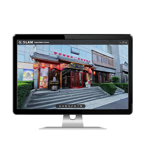
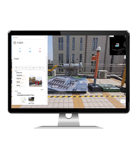
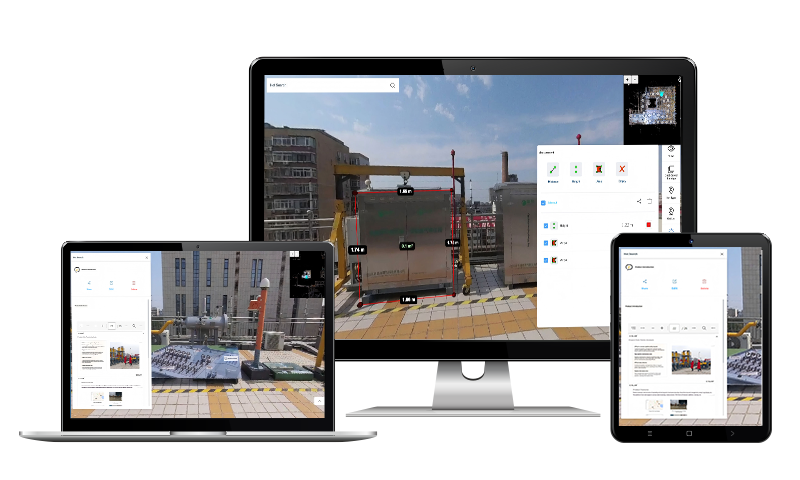
Advanced one-stop SLAM solution that connects the full chain from scanning to application, providing integrated real-world 3D and spatiotemporal data collection along with AI deep applications for planning, design, construction, and operations; GoScan Desktop is a lightweight 3D desktop management tool that follows a minimalist design concept, making it super easy to use, instantly responsive, and delivering an extremely smooth basic 3D interaction experience.
-
Main Features of the GoScan Platform
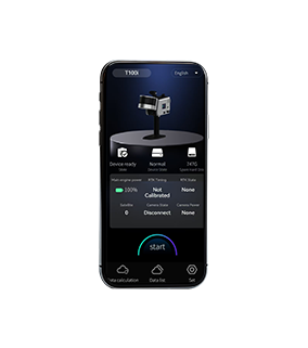
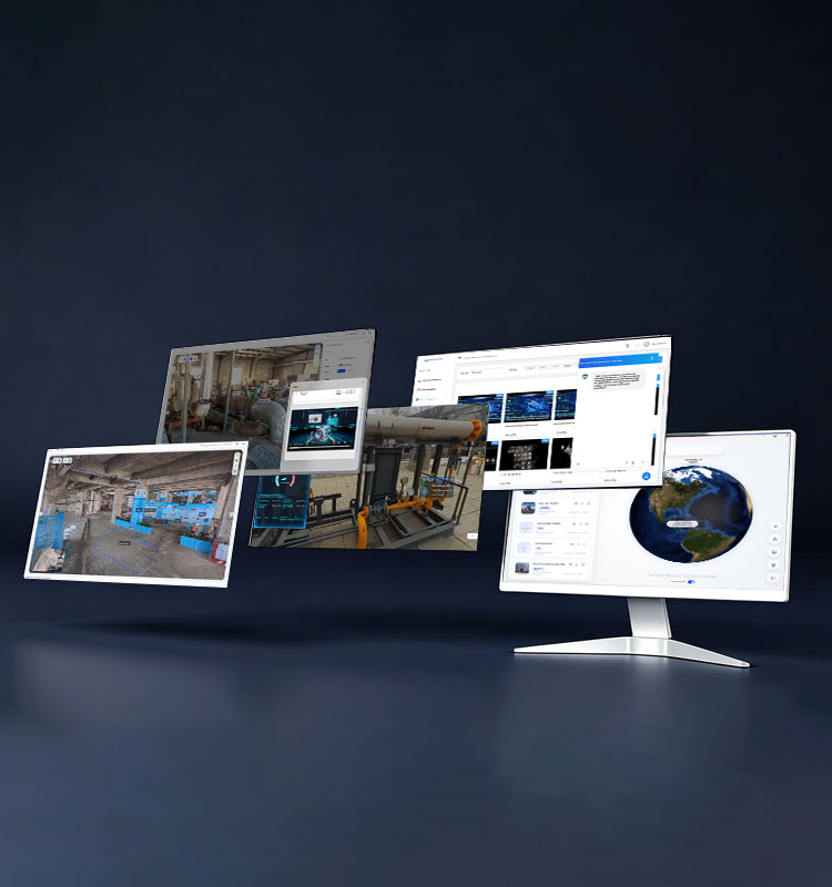
Equipped with a multi-source data fusion engine, it can seamlessly integrate various types of data like point clouds, panoramas, meshes, and video streams into a unified spatial reference. You can create virtual assets with one click and accurately build 1:1 digital twin models. It also offers flexible deployment options, covering standalone, public cloud, and on-premises setups, enabling full access from both mobile devices and professional hardware.
-
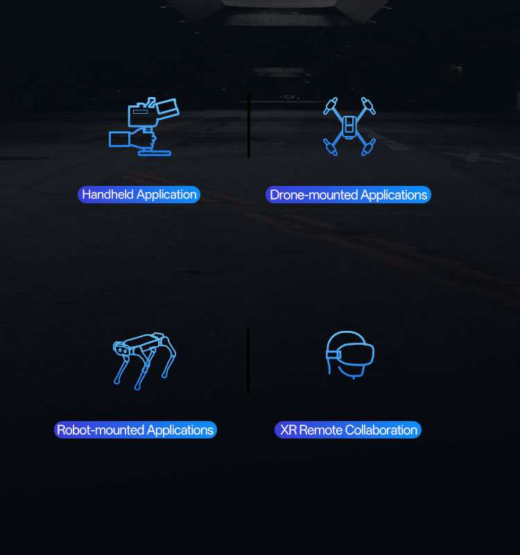
GoScan Comes in Multiple Configurations, Covering All Kinds of Scenarios
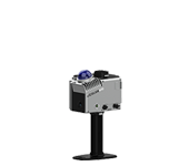
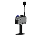
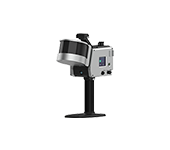
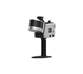
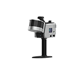
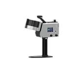
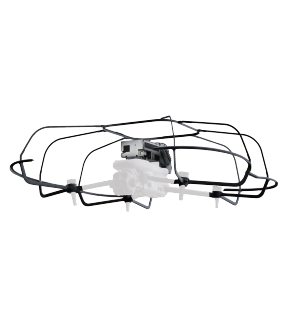
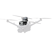
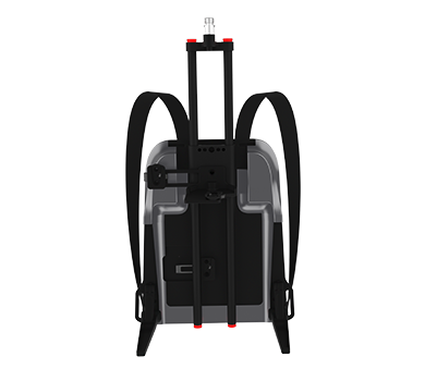
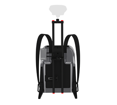
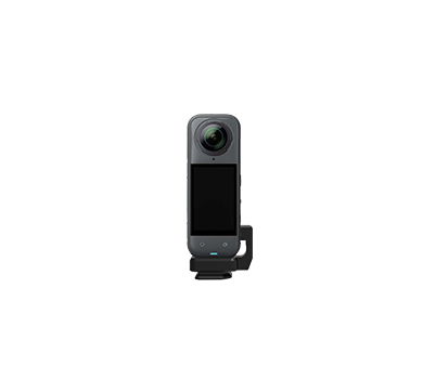
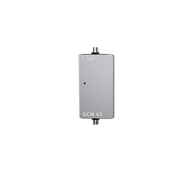
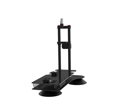
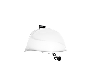
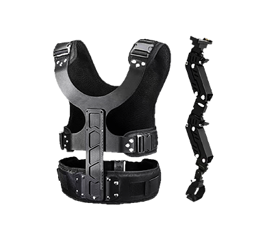
Whether it's handheld flexible operations, high-altitude drone inspections, robots going into dangerous areas, or XR remote collaboration guidance, GoScan can handle it all with ease. You can freely switch between four different setups, covering data collection needs from the ground to the sky, and from on-site to remote.
-
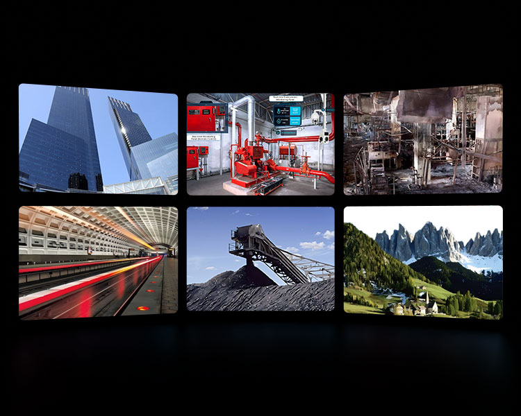
Typical Industries for GoScan
Construction projects and cultural heritage protection, industrial facilities and operations, public safety and emergency response, infrastructure and governance, energy logistics and measurement, natural resources and heritage—all empowering full lifecycle spatial data management and decision-making.
-
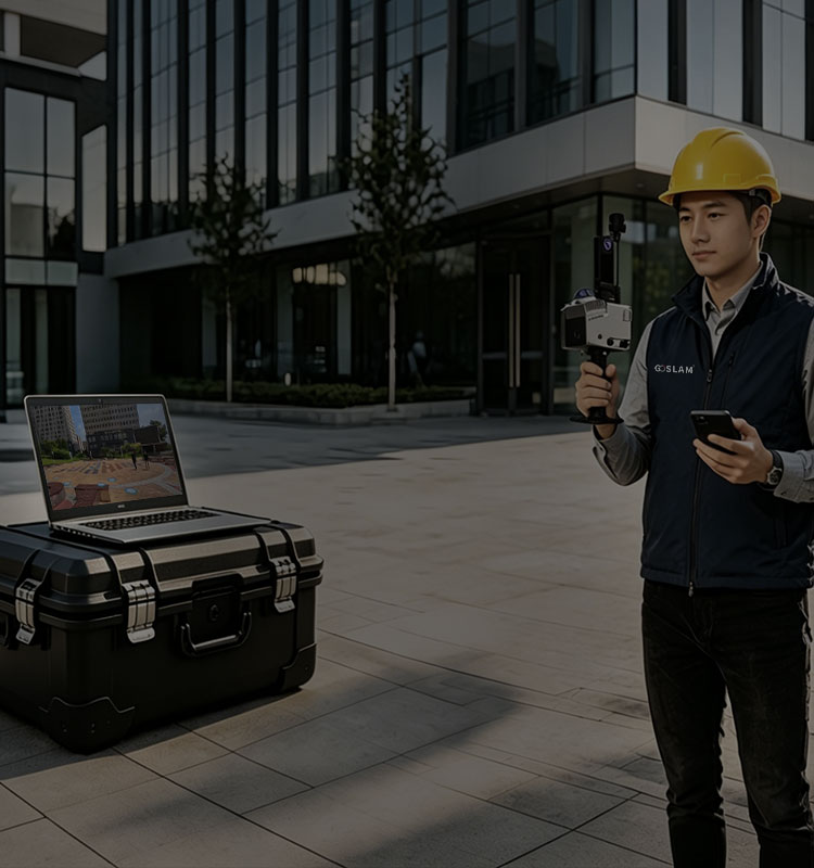
GoScan One-Stop Hardware and Software Integration
The platform is ready to use right away, zero barriers for a quick start; full collaboration, bringing together multiple endpoints and projects; flexible deployment, letting individual teams switch around easily—fast, connected, and flexible, easily handling diverse operational needs.


More Products
-
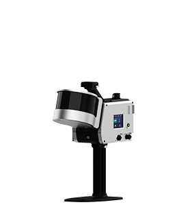
T50i
Learn More Point Accuracy
1cm (Highest)
Point Resolution Enhancement2mm(Highest)
Scanning Range0.35m-50m
Channels16
Scanning Speed320,000 PTS/Sec
Laser ClassClass 1
Scanning FOV360°×285°
Video Resolution8K
-
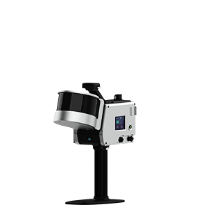
T100i
Learn More
Point Accuracy1cm (Highest)
Point Resolution Enhancement2mm(Highest)
Scanning Range0.35m-120m
Channels16
Scanning Speed320,000 PTS/Sec
Laser ClassClass 1
Scanning FOV360°×285°
Video Resolution8K
-
T100i Pro
Learn More
Point Accuracy1cm (Highest)
Point Resolution Enhancement2mm(Highest)
Scanning Range0.35m-120m
Channels32
Scanning Speed640,000 PTS/Sec
Laser ClassClass 1
Scanning FOV360°×285°
Video Resolution8K
-
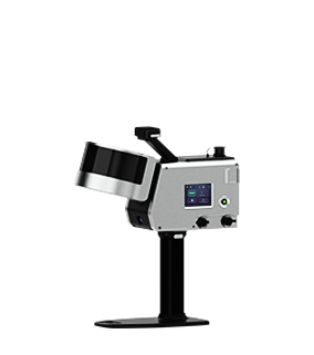
T300i Pro
Learn More
Point Accuracy1cm (Highest)
Point Resolution Enhancement2mm(Highest)
Scanning Range0.35m-300m
Channels32
Scanning Speed640000 PTS/Sec
Laser ClassClass 1
Scanning FOV360°×285°
Video Resolution8K
-
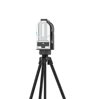
G1 Plus
Learn More
Point Accuracy5mm@10m
Resolution2mm(Highest)
Working Time3h
Working Temperature-35°C-50°C
Weight (Host)2kg
-
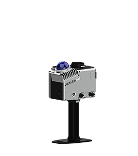
M40
Learn More
Working Hours2.5H(Without Color Module)
Mapping TechnologyFourth Generation
Point Accuracy1cm(Highest)
Point Resolution Enhancement2mm(Highest)
Scanning Range40m (10% reflectivity) -70m(80% reflectivity)
Scanning Speed200,000 PTS/Sec
Video Resolution8K
-
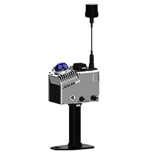
M40 RTK
Learn More
Working Hours2.5H(Without Color Module)
Mapping TechnologyFourth Generation
Point Accuracy1cm(Highest)
Point Resolution Enhancement2mm(Highest)
Scanning Range40m (10% reflectivity) -70m(80% reflectivity)
Scanning Speed200,000 PTS/Sec
Video Resolution8K