


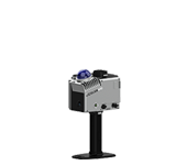
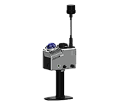
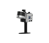
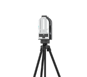
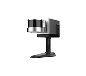
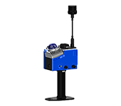
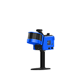



Function Summary
-
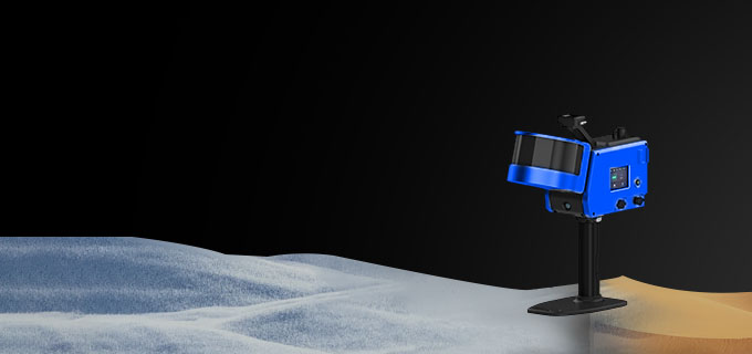
Weather Resistance
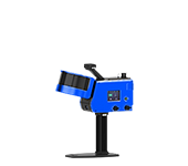
It is weather-resistant and can operate in environments ranging from -35°C to 50°C.
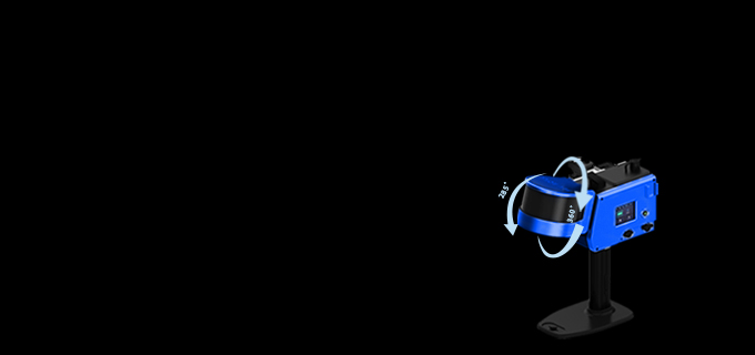
Rapid 3D Mapping
High-precision on-site reconstruction, scanning radius of 120m (maximum),It can perform data acquisition in dark environments, quickly acquiring spatial data.
-
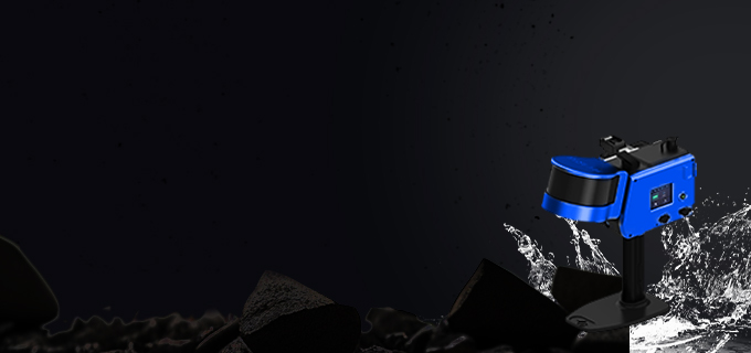
High Protection
It has a high protection level with dust and water resistance, suitable for various environments.
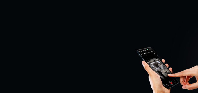
Real-time Preview
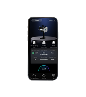
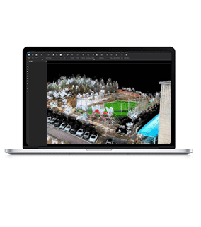
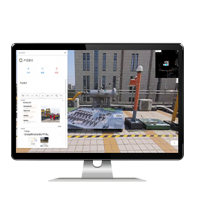
During operation, users can view the scanned color data in real time via the APP. It realistically acquires the scene, completely restoring scene details. Color point cloud data can be directly exported without computation.


-
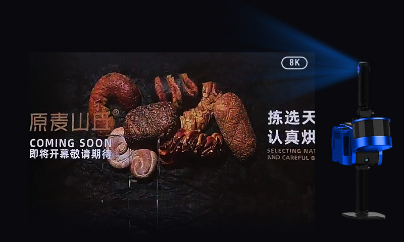
True Color, Precise Presentation
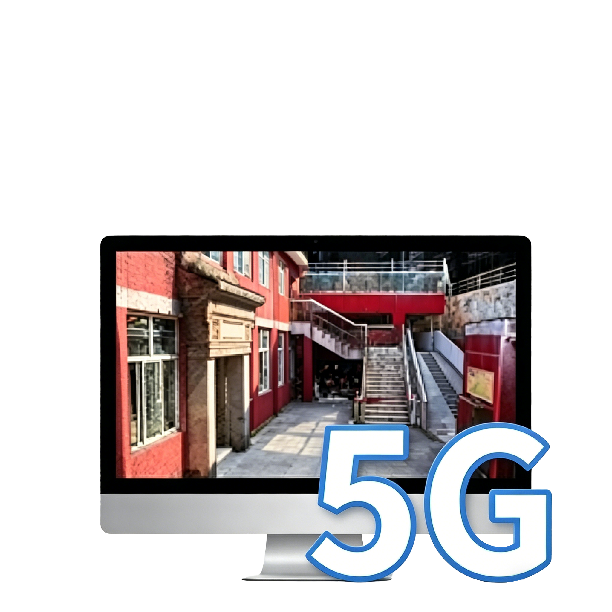
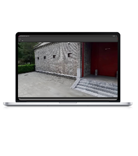
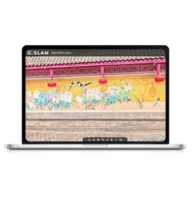
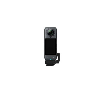
Built-in high-definition color image sensor, enabling real-time scanning and presentation of true-color point cloud data. Combined with an 8K panoramic color imaging module, the data is rendered with exquisite realism, as if seen with your own eyes.
-
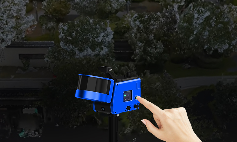
Single-Person Operation
Supports one-click start and stop of scanning operations. The minimalist interface is easy to use, allowing even beginners to quickly learn and efficiently complete data acquisition tasks.
-
Open Design
Open design, supporting external power supply and Ethernet output, and providing the GoSLAM SDK protocol.
-
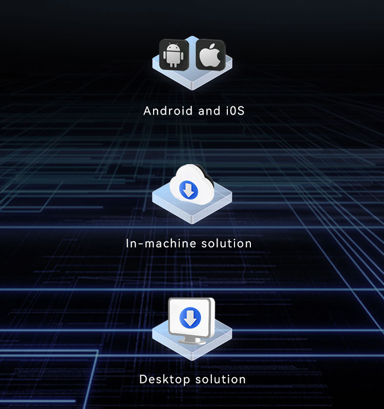
Cross-Platform Support, Convenient Operation
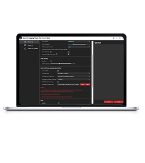
Whether on Android or iOS systems, scanning can be controlled via mobile phone, with real-time preview of point cloud and data results. Supports dual modes of high-precision post-processing on both the device itself and desktop, meeting the accuracy needs of different users.
-
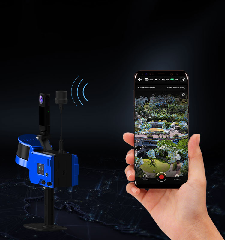
Built-in RTK, Precise Positioning
Built-in BeiDou RTK enables real-time positioning and coordinate acquisition during map construction.
-
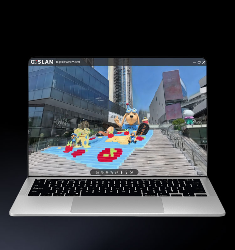
3D Gaussian Digital Model Engine
Supports integrated acquisition of Gaussian model data, simultaneously ensuring spatial measurement accuracy and immersive 3D visualization effects, providing high-quality data with both precision and visual appeal for on-site investigation and scene reconstruction.
-
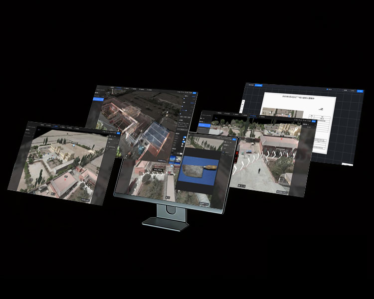
"One Map" Display
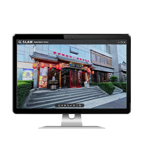
The platform is compatible with multiple data types and through unified platform management, achieves "one map" visualization in 3D scenes, making on-site information more intuitive, complete and easy to manage.


More Products
-
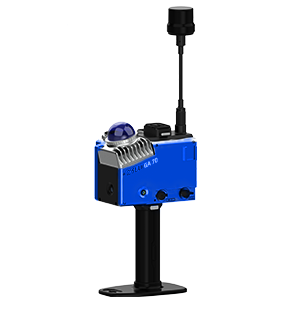
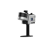
GA70
Learn More Level I (Eye-Safe)
Complies with the "Laser Safety Level Standard"
Cloud Map Measurement Error±5mm
Resolution2mm (Maximum)
Operating Temperature-35~50°C
Equipment Weight (Excluding Accessories)970g
-

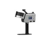
GA100
Learn More
Level I (Eye-Safe)Complies with the "Laser Safety Level Standard"
Cloud Map Measurement Error±1cm
Resolution2mm (Maximum)
Operating Temperature-35~50°C
Equipment Weight (Excluding Accessories)2kg
-
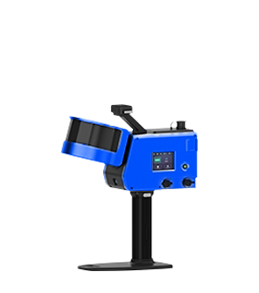
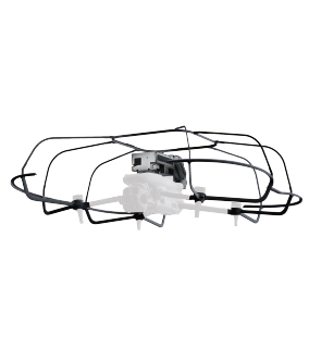
GA300
Learn More
Level I (Eye-Safe)Complies with the "Laser Safety Level Standard"
Cloud Map Measurement Error±1cm
Resolution2mm (Maximum)
Operating Temperature-35~50°C
Equipment Weight (Excluding Accessories)1.69kg