

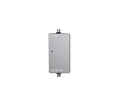


Function Summary
-
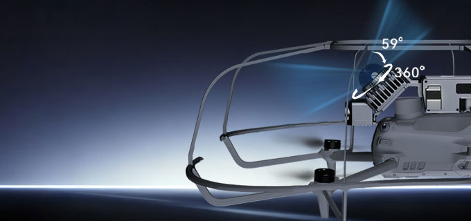
Scanning Angle
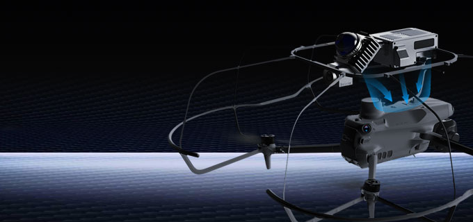
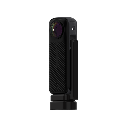
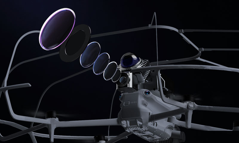
To Use Design DJI M4T/M4E Plug
-

5G Real-Time Data Return (5G Version)

Support 3D Gaussian Software


-
Camera-Laser Fusion
-
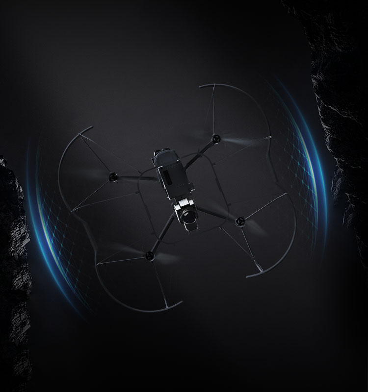
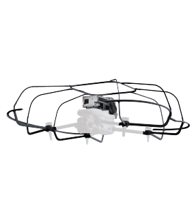
Anti-Collision Frame
The X1 kit includes a covered drone physical anti-collision frame, supporting flight in narrow spaces without worrying about collision damage.
-
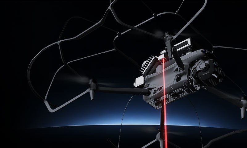
Laser Control Point
The method of obtaining reference points uses laser dot technology, which can quickly and accurately record point information, easily complete on-site sampling, and can later be used for coordinate conversion and positioning planes.
-
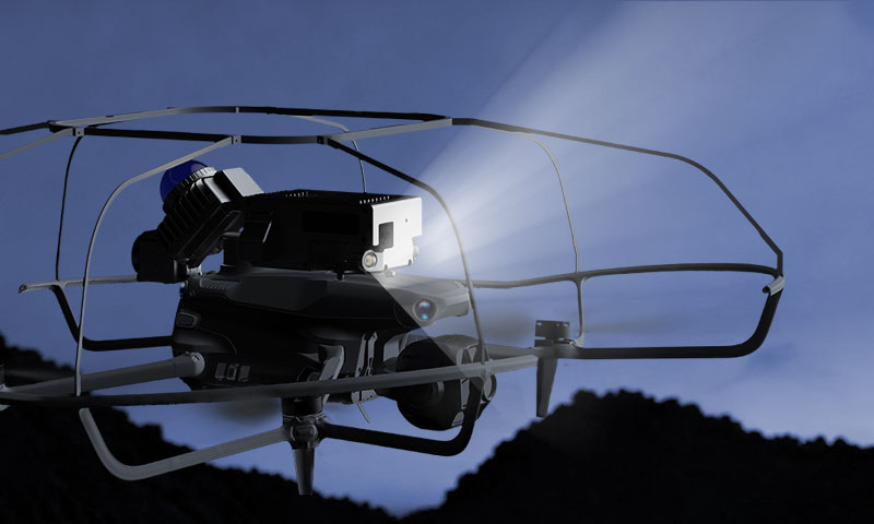
Controllable Lighting
Equipped with a professional front fill light, it overcomes lighting limitations to ensure safe flight and clear images in dark or night-time environments.
-
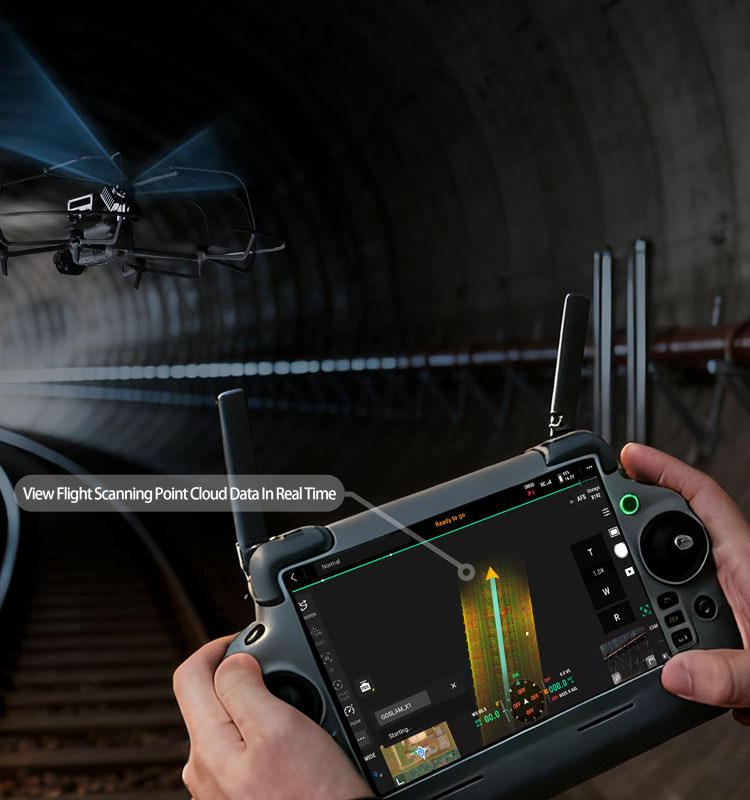
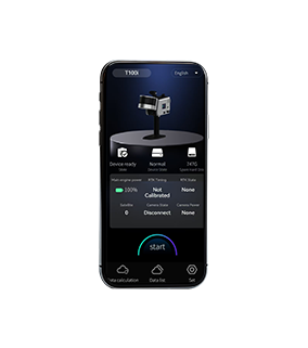
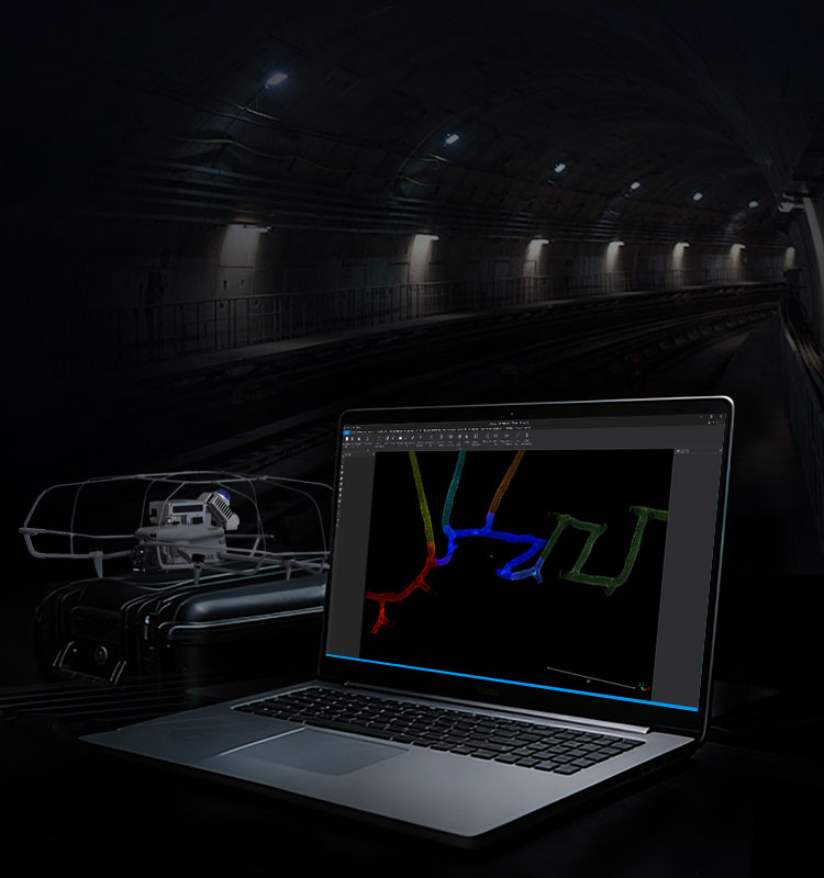
Point Cloud Data Can Be Viewed in Real Time on Remote Controller
Operators can intuitively grasp the dynamics of the working scene, view the flight scanning point cloud data in real time, and quickly adjust the flight path, greatly improving the safety and convenience of operation, and can complete real-time control without relying on additional equipment.
-
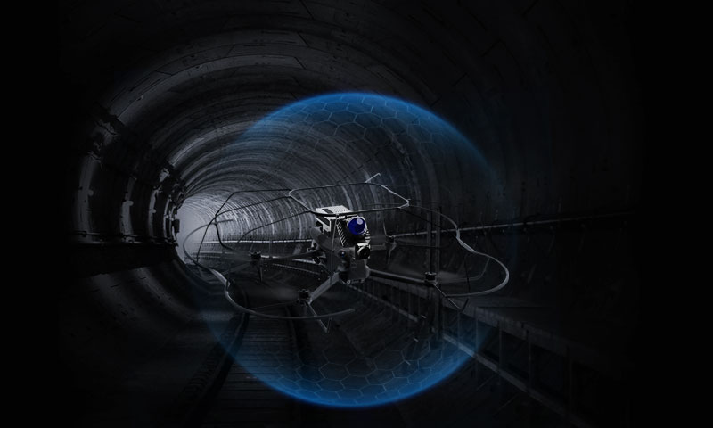
Compact Size, Easily Handles Small Space
With its compact design, it can easily navigate narrow alley and confined space. Combined with a high-precision laser and excellent SLAM algorithm, it can generate high-precision 3D data for users in area inaccessible to personnel.
-
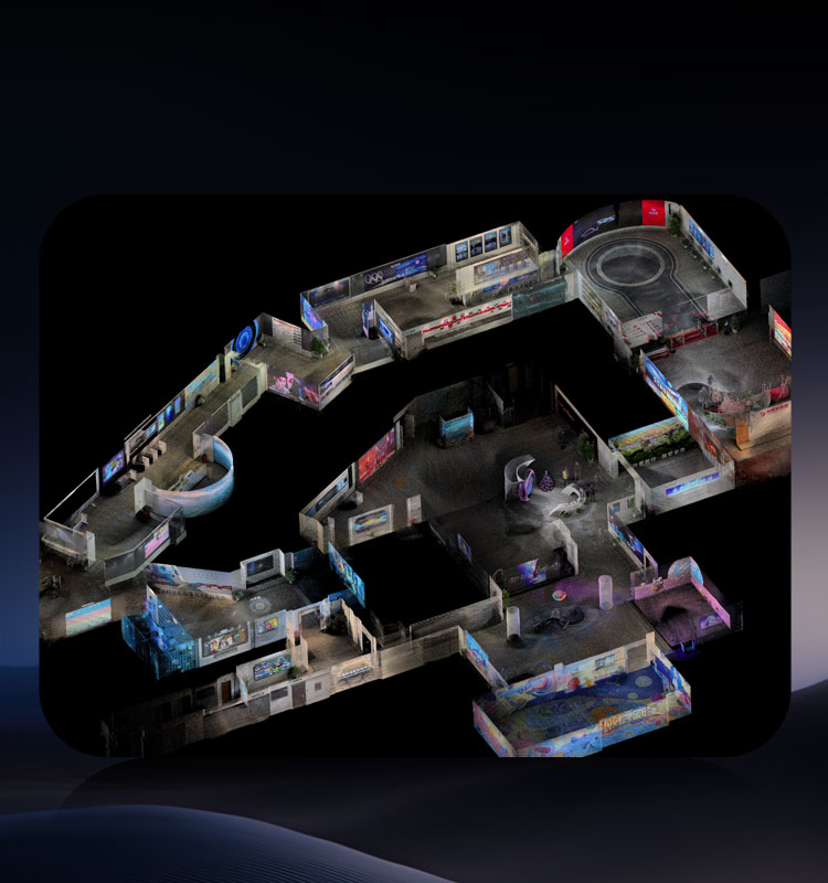
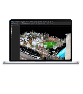
Real-Time Color Point Cloud
The device supports real-time synchronous output of color point cloud, with realistic color and uniform density, which can accurately present the structural features of the scene and be directly applied to rapid on-site identification and data analysis, providing reliable data support for real-time decision-making.
-
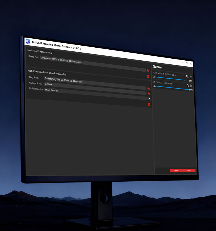
High-Precision Point Cloud Post-Processing
It supports high-precision post-processing of point cloud data, optimizes data quality through professional GoSLAM mapping algorithm, and generates more accurate and complete 3D point cloud to meet the needs of precision measurement applications.
-

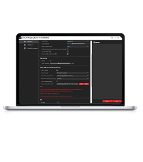
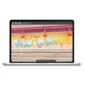
X1 5G Version, Linking Infinite Possibilities
The X1 5G version supports real-time online browsing and measurement of color point cloud from different locations, and provides instant field information for integrated command through the GoSLAM online cloud platform.
-

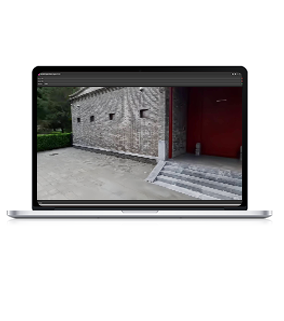
Supports 3D Gaussian Modeling Software and Browser
The 3D Gaussian Digital Matrix Engine can highly reproduce 3D Gaussian scene models, and can also be quickly browsed and measured through the accompanying browser.
-
Break-Point Resume Scanning Technology
For large scene and complex environment where complete data collection is impossible in one scanning and manual stitching is not desired. GoSLAM X1 fully supports resume scanning from break-point. You can replace the battery or stop scanning at any time. Real-time scanning results and post-processing results can be automatically registered for unlimited scans without the need for secondary stitching.


More Products
-
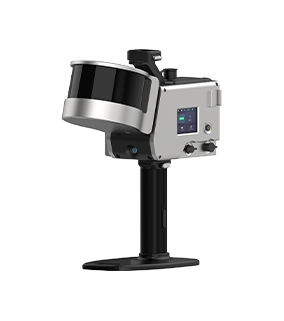
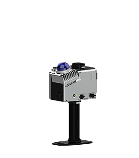
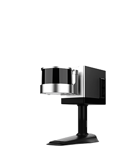
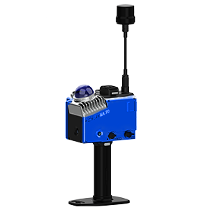
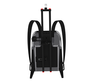
X1
Learn More Compatible Models
DJI Matrice 4T/4E
Scanning TechnologySLAM
Scan Radius40 m @ 10% Reflectivity
70 m @ 80% ReflectivityScanning Frequency200,000 Points/Sec
Scanning AccuracyMaximum 1cm
Scanning FOV360°×59°
Flight TimeApprox. 15 Minutes
-
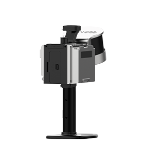
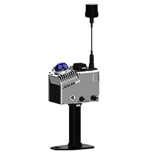
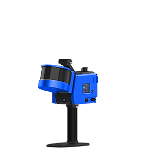
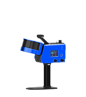
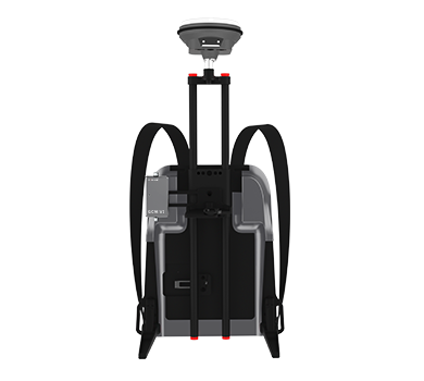
X1 5G
Learn More
Compatible ModelsDJI Matrice 4T/4E
Flight TimeApprox. 15 Minutes
Scanning TechnologySLAM
Scanning FOV360°×59°
Scanning AccuracyMaximum 1cm
Scanning Frequency200,000 Points/Sec
Scan Radius40 m @ 10% Reflectivity
70 m @ 80% Reflectivity