


-
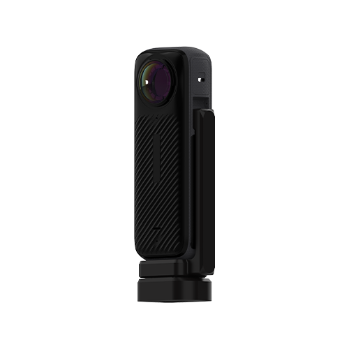
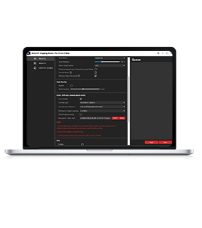
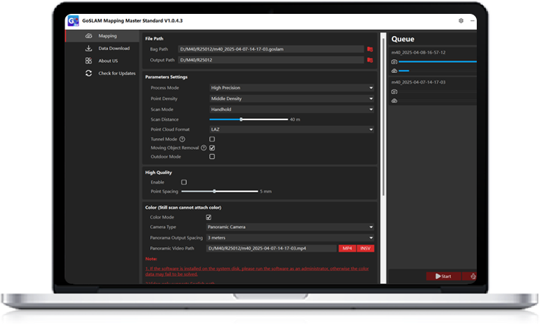 GoSLAM Mapping Master Standard
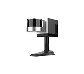
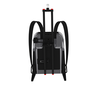
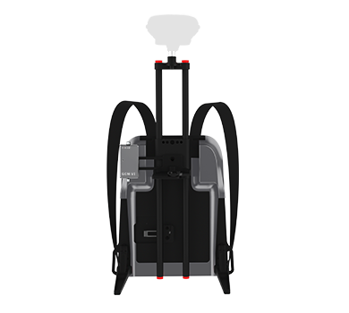
GoSLAM Mapping Master Standard is suitable for M40 series and X1 series
Retract
GoSLAM Mapping Master Standard V1.0.9.6 Version
Update content:
1.Optimize the color effect of X1
2.Add support for Spanish
-
 Retract
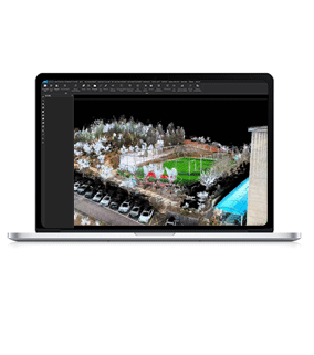
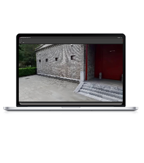
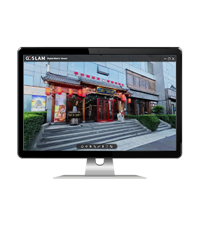
GoSLAM LidarWorks V3.7.6 Version
*To install the new version, you must first uninstall the old version of LidarWorks software from your computer before proceeding with the installation of version 3.7.6.
Update contents:
1.Basic Functions
1.1 Height measurement function
1.2 Optimized orthophoto coordinate accuracy
1.3 Adjusted ControlPoints.txt file import to manual setup
2.Pile Measurement
2.1 Pile deformation comparison analysis
3.Registration Module
3.1 Feature area based alignment
3.2 Automatic target ball detection and automatic registration
3.3 Optimized quick alignment, improving alignment speed and accuracy
3.4 Optimized global registration, improving alignment accuracy; fully automatic registration without manual selection of overlapping areas
4.Mining Module
4.1 Optimized tunnel overbreak & underbreak section line display
4.2 Overbreak & underbreak analysis report export
4.3 Tunnel boundary line extraction
4.4 Fixed the issue where the inner contour could not be extracted during tunnel boundary extraction
4.5 Modified the point cloud after tunnel separation to retain the original color
5.Display
5.1 Added rotation around axis
5.2 Added view locking
5.3 Customizable background color
6.Digital Assets
6.1 Support for exporting point cloud only
7.Terrain
7.1 Added geographic coordinate output for contour lines

-

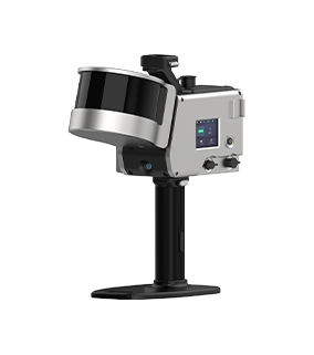
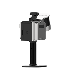
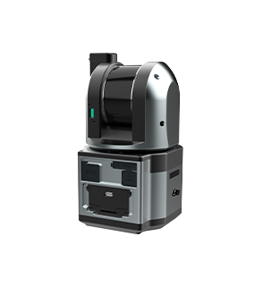
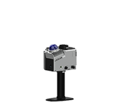
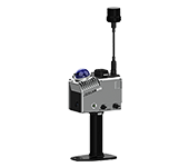
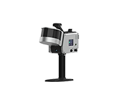
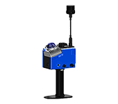
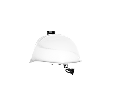
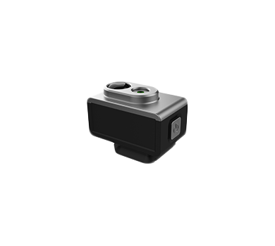
GHJS12 (Explosion-Proof Scanner)
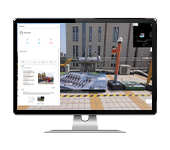
5G Fast CloudMap Platform
-
Service Support
If you need any help, please feel free to contact us at any time
 Tel
Tel400-696-7816
 Email
Emailmarketing@goslam.com