Digital Green Quantity Measurement
With the development of science and technology, digital green quantity has put forward higher requirements on the accuracy, efficiency and function of measurement tools. Traditional measurement mainly relies on optical instruments, steel rulers, GPS technology and sample site surveys. However, these traditional methods have problems such as low efficiency, insufficient accuracy, difficulty in covering complex terrain and difficulty in obtaining detailed 3D information.
GoSLAM technology can provide real-time and accurate ecological data to help researchers and policymakers better understand changes in ecosystems, thereby formulating effective protection measures for resource management and optimal allocation, improving resource utilization efficiency and reducing waste.
Industry Pain Points

Inefficiency
 Traditional measurement methods require manual point-by-point measurement, which is time-consuming and labor-intensive, and it is difficult to quickly cover large areas.

Insufficient Accuracy
The accuracy of traditional measurement methods is relatively low, especially in complex terrain and high-density coverage areas, making it difficult to obtain high-precision 3D data.

Relying On Labor
Traditional measurement methods require a lot of manual operations and are easily affected by human factors, resulting in large data errors.

Poor Environmental Adaptability
Traditional measurement methods are difficult to implement effectively in complex environments (such as forests, wetlands, etc.), especially in areas without GPS signals.

Advantages
-
Efficient Data Collection
 The GoSLAM system supports multiple platforms such as handheld, backpack, vehicle, and drone, and can quickly collect 3D data of large areas. Its scanning frequency is as high as 640,000 points per second, and its data collection efficiency is much higher than traditional measurement methods.
-
No Reliance On GPS
GoSLAM technology does not rely on GNSS positioning such as GPS and can perform high-precision 3D data collection in complex environments (such as forests, wetlands, underground facilities, etc.).
-
Real-Time Data Visualization
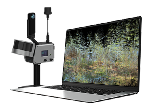
GoSLAM provides real-time data visualization function, users can instantly view and adjust data collection during the scanning process to ensure the integrity and accuracy of the data.

-
Strong Adaptability
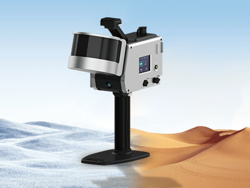
GoSLAM system has strong environmental adaptability. It can operate at temperatures between -35°C and 55°C and acquire high-quality point cloud data in bright or dark environments.
-
Convenient Data Processing
GoSLAM system is equipped with RTD real-time processing technology. After the scanning is completed, it can be exported and used without waiting, which greatly improves work efficiency.
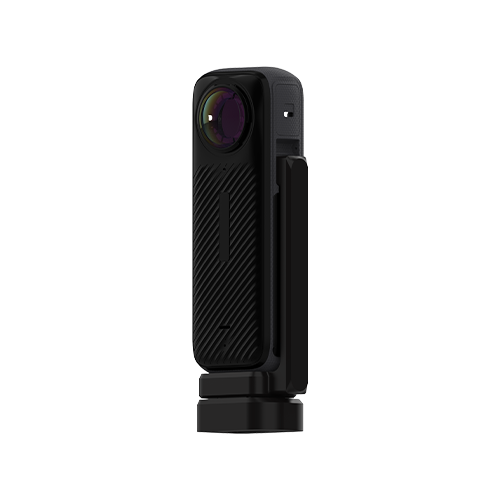
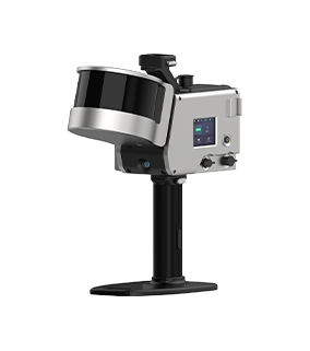
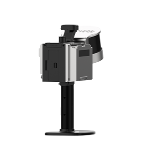
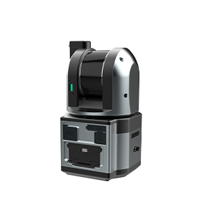
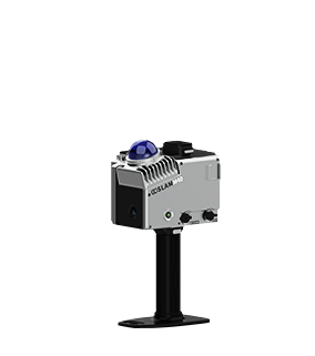
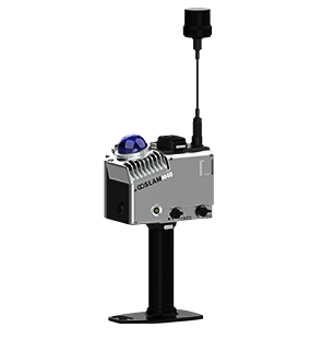
Solutions and Related Products
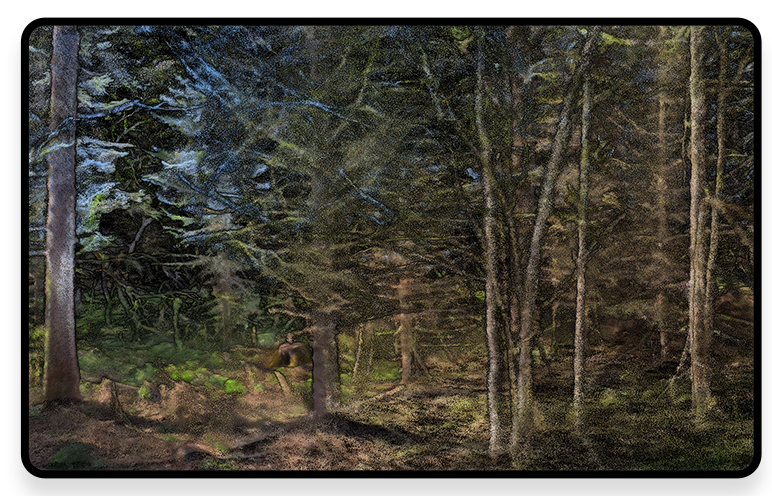
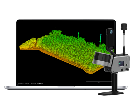
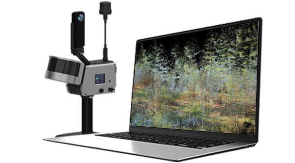
GoSLAM mobile measurement system 3D scanner has significant advantages in the field of digital green quantity and has achieved fruitful results in application. It quantifies and manages green resources through digital means.
■ No external positioning device is required. SLAM technology is being used and it does not rely on external positioning devices such as GPS, which enables it to work stably even in environments with weak GPS signals such as forests.
■ High Precision and High Efficiency: High-precision point cloud data can be quickly acquired with a scanning frequency of hundreds of thousands of points per second. The scanning distance can reach 300 meters and the point accuracy can reach 1 cm, reducing manpower investment, lowering costs and increasing efficiency.
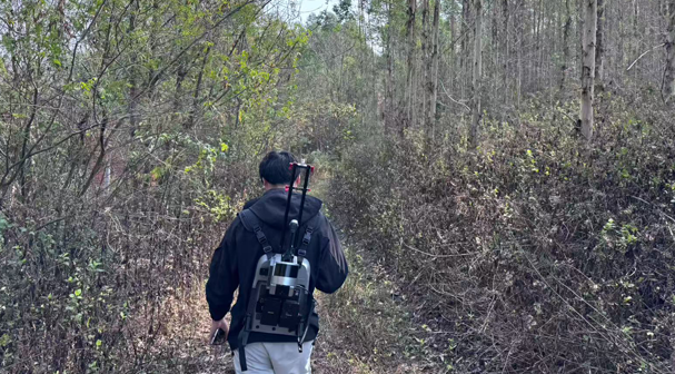
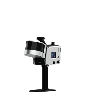
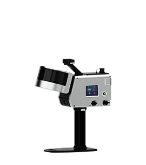
■ Multi-platforms Mounting and Flexibility: GoSLAM devices support multiple mounting methods such as handheld, backpack, car-mounted, drone, and USV-mounted. This flexibility enables it to easily cope with complex terrain and survey tasks of different scales.
■ Real-time Preview and Data Processing: Through the mobile app or touchable screen, users can preview point cloud data in real time during the operation to ensure the accuracy and completeness of the data.
■ Strong Weather Resistance: GoSLAM equipment has good weather resistance and can operate stably in an environment of -35℃ to 60℃, making it suitable for forestry measurements in different seasons and climatic conditions.

Workflow

Data Collection
Assemble and power on the device, then use a mobile phone to remotely control the device for mobile data collection.
Data Processing
The device can be controlled to perform internal processing and automatically process data by the APP.
Result Export
Data can be exported via USB, network cable or WiFi.