


Topographic Surveying
Topographic surveying has certain limitations in terms of accuracy and efficiency. Due to the errors in manual measurement and the subjectivity of mapping, the accuracy of traditional topographic surveying may be affected to a certain extent. In addition, traditional topographic surveying requires a lot of manpower and time costs, and its efficiency is relatively low.
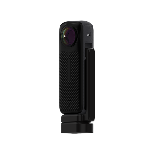
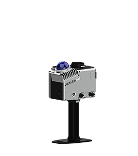
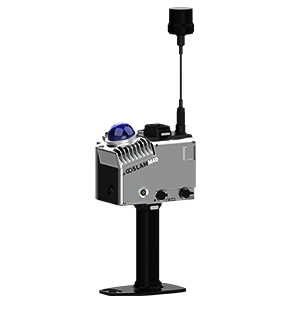
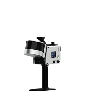
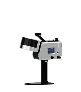
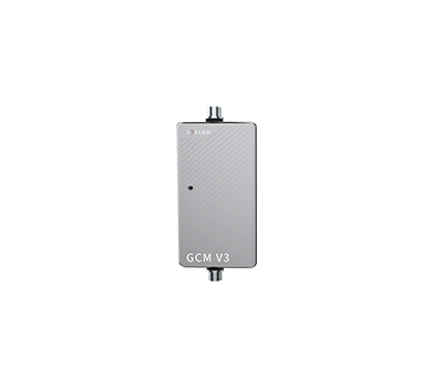
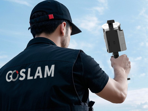
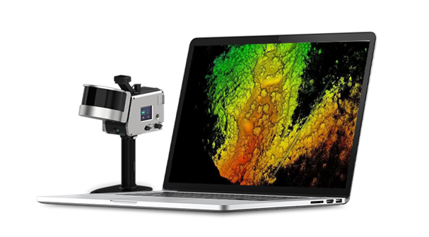
With the continuous advancement of artificial intelligence technology, topographic surveying is undergoing a digital, automated and intelligent transformation. Through the GoSLAM 3D laser scanning system, we can obtain geospatial data at a faster speed and higher accuracy, which is becoming more and more popular among users.
Industry Pain Points

Inefficiency
 Traditional measurement methods use single-point measurement, which requires the use of a total station to record single-point data, and can only record one single-point data at a time.

Large Amount of Personnel Requires
It requires one total station operator, two people to move pole and one recorder.

High Requirements For Operator
There are high professional skill requirements for operators.

Data Result Is Single
Traditional surveying and mapping results are limited to digital line drawings and cannot intuitively display the actual scene of the land.

Advantages
-
Full Scenes Coverage
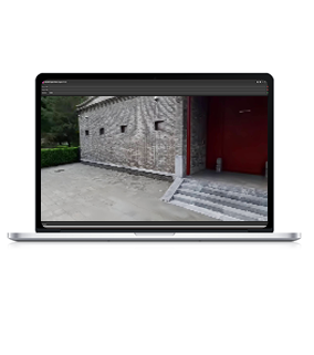
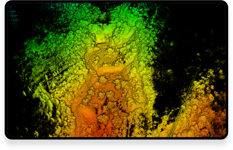
 360° scanning allows you to view the current 3D scene in real time.

-
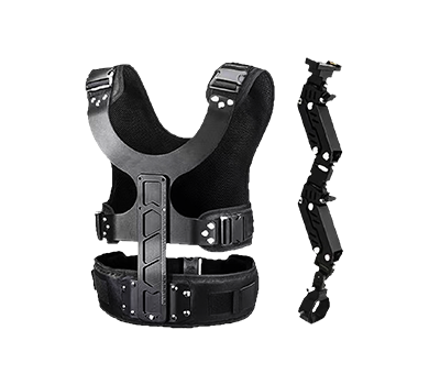
Lightweight and Low-cost
Only one person can operate it, saving manpower and transportation costs
-
Simple and Convenient Operation
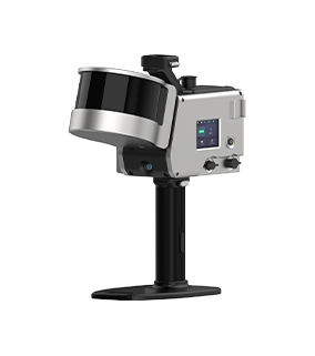
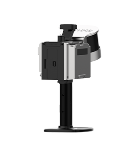
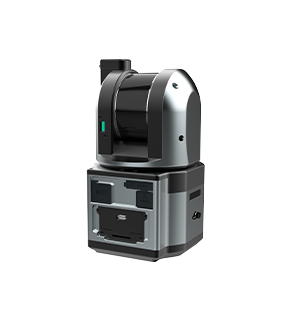
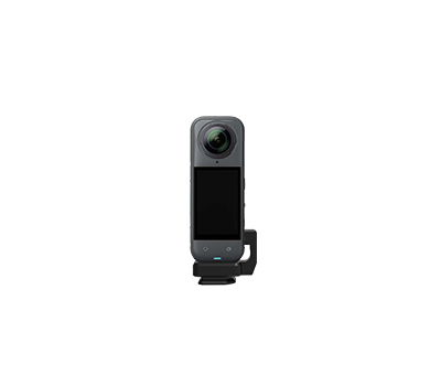
With integration of lidar, IMU and visual sensor, the device is easy to operate.

-
Intelligent Application Expansion
Digital Twin Compatibility: Real-life 3D visualization, seamless data connection with BIM/CIM platform, DEM\DSM supports full life cycle management of facilities.

Solutions and Related Products
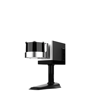
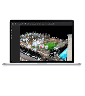
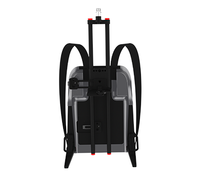
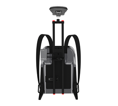
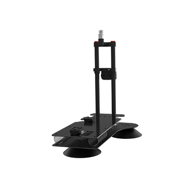
The GoSLAM mobile measurement system can be used with a backpack to quickly acquire 3D data of the terrain, and can also access RTK real-time signals to obtain the absolute coordinate values of the terrain. With GoSLAM LidarWorks software, it can perform point cloud classification, and can be used with third-party mapping software to quickly complete terrain measurement.
■ Common data format.
■ The system has high accuracy and high speed, and can quickly collect complete 3D spatial data of building structures.
■ Non-contact scanning method, 360° panoramic measurement.
■ The application of results data is rich and flexible, which facilitates digital archiving and comparative analysis.
■ Non-contact measurement: Applicable to hazardous environments (such as cliffs, landslide areas, swamps), without close contact between personnel.
■ Reduce field time: Traditional measurement requires point-by-point collection, while 3D scanning can obtain a high-density point cloud of the entire area at one time, increasing field efficiency several times.
■ Digitalization and automated processing seamlessly connect with GIS/BIM: Scanned data can be directly imported into ArcGIS, AutoCAD and other software to support terrain analysis, slope calculation, earthwork measurement, etc.
Workflow

Data Collection
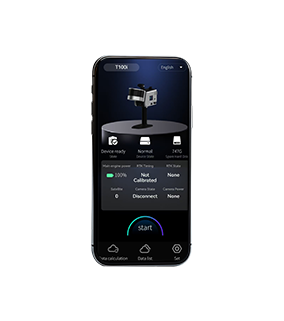
Assemble and power on the device, then use a mobile phone to remotely control the device for mobile data collection.
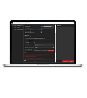
Data Processing
The device can be controlled to perform internal processing and automatically process data by the APP.
Result Export
Data can be exported via USB, network cable or WiFi.