


Accident Reconstruction
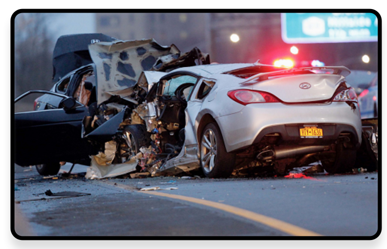
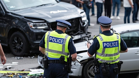
With the rapid development of China's road transportation industry, the incidence of traffic accidents is on the rise. Traffic accidents not only cause casualties, but also damage the environment and bring misfortune to countless families. This has attracted great attention and concern from governments at all levels. With the development of the era, traditional on-site recording methods can no longer fully record on-site information such as "people, vehicles, roads, etc."
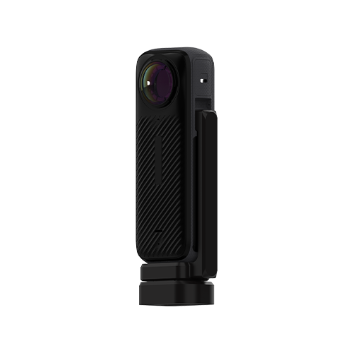
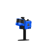
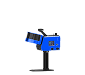
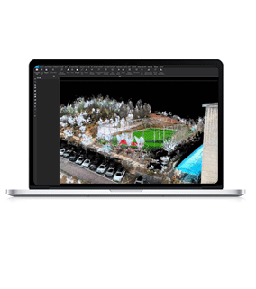
GoSLAM can be used to quickly generate a 3D model of the scene, overcoming the shortcomings of traditional manual measurement such as low efficiency and limited viewing angle. It provides tamper-proof digital evidence for judicial evidence collection, insurance loss assessment and accident analysis, and can be applied to on-site restoration and liability determination in complex scenes such as traffic accidents.
Industry Pain Points

Data Collection
 Accident scenes are often cleared quickly for rescue, traffic restoration, etc., and key physical evidence (such as brake marks and debris distribution) is easily lost.

Timeliness and Cost Pressure
The on-site survey needs to be completed in a short period of time, and details are easily missed when there is a shortage of manpower.

Shortcomings In The Legal and Evidence Chain
Traditional evidence is difficult to accept due to its lack of objectivity, there are many disputes over the division of responsibilities, and paper archives are easily lost.
Barriers To Cross-disciplinary Collaboration
Data sharing among traffic police, insurance companies and judicial institutions is not smooth, and repeated investigations increase costs.
Uneven Application of Technology
Traditional methods (such as brake mark analysis) and new technology data have not been effectively integrated, reducing overall efficiency

Advantages
-
Fast and Complete On-site Records
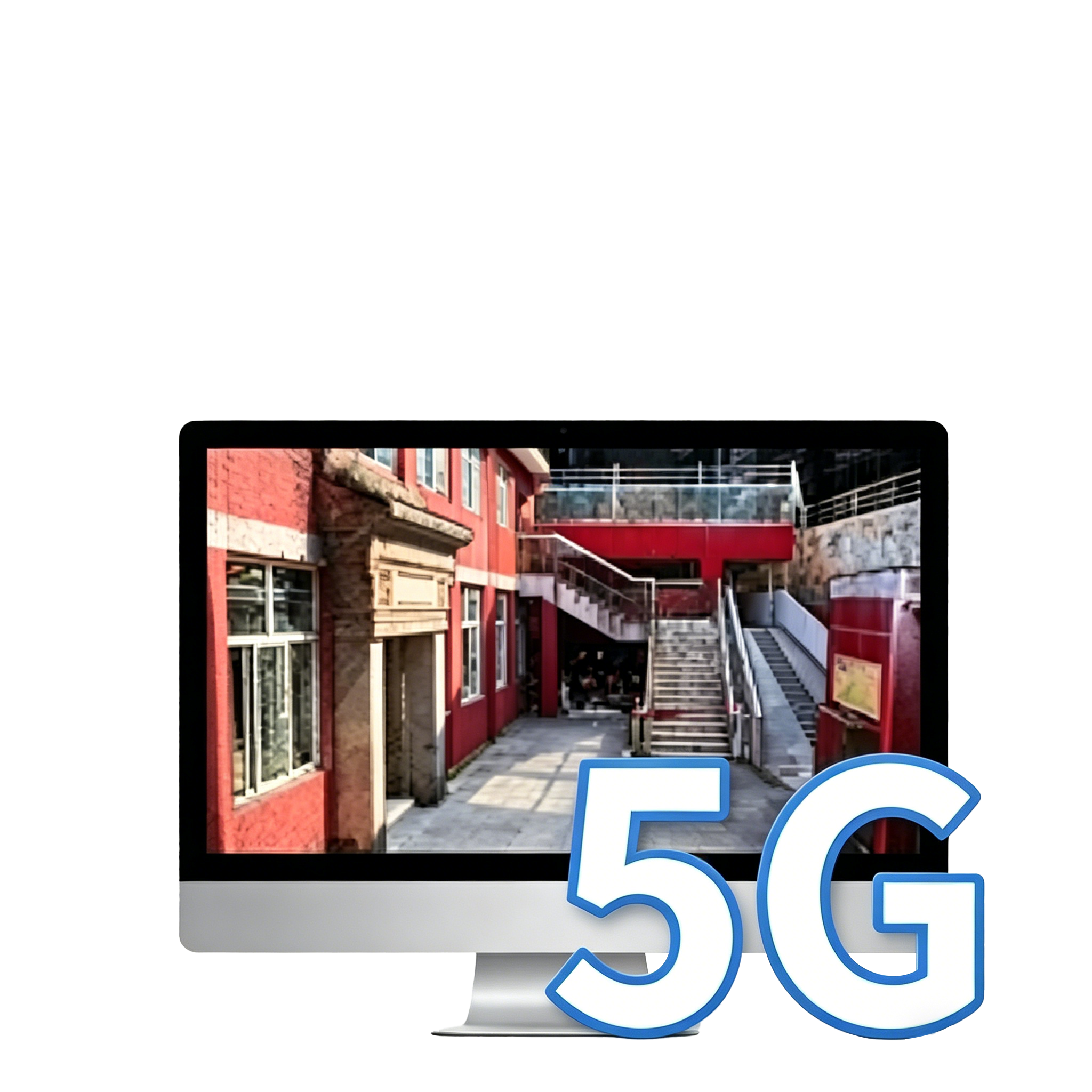
 GoSLAM can quickly collect point cloud data to record all details of the accident scene, including vehicle location, scattered object distribution, road surface traces, etc., to provide panoramic data support for later analysis. The accident scene is susceptible to environmental interference (such as weather and rescue operations). GoSLAM can complete on-site data collection in a short time to avoid the loss of evidence.

-
Data Accuracy and Integrity
High-density scanning, ultra-large field of view, and point cloud accuracy can be up to 1cm to ensure accurate and complete data.
-
High Efficiency and Operation Mode
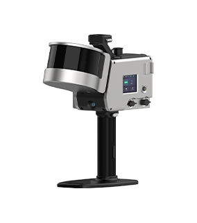
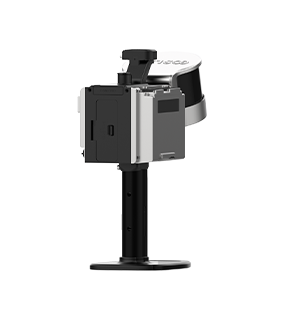
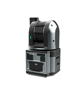
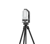
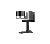
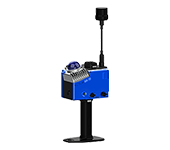
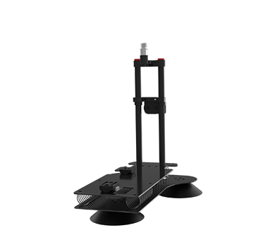
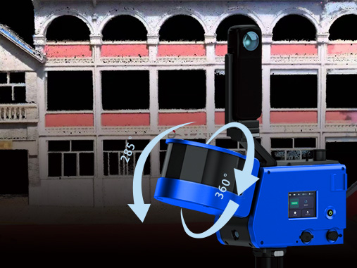
Without fixed sites, GoSLAM scanner can generate 3D point clouds in real time while moving by handheld or mounted on a drone, to cope with dynamic environments such as road blockages and traffic interference in traffic accidents. It can also achieve stable positioning in complex GPS-denied scenes such as tunnels, underground garages, and narrow ruins.
-
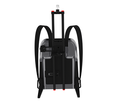
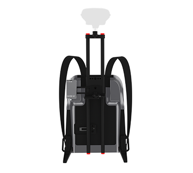
Lightweight and Low-cost
Multiple loading modes, single-person operation, simple equipment operation, one-click scanning.
Solutions and Related Products
GoSLAM provides an efficient and accurate digital solution for accident reconstruction: through SLAM dynamic scanning, complex scene modeling can be completed within 5-20 minutes. Multi source data is integrated to automatically generate collision trajectories, structural damage analysis, and 3D evidence chains, greatly improving the efficiency and objectivity of responsibility determination in traffic accidents, fires and other scenarios, reducing human errors and secondary risks.
High precision and data integrity, SLAM laser scanning technology can capture subtle geometric features (such as spatial information of traffic accident scenes and scattered object distribution), with much lower errors than traditional measurements.
Holographic recording: Obtaining hundreds of thousands of data points in one second, covering all details such as the situation at the scene of a traffic accident, the distribution of scattered objects, and the traces at the scene, avoiding manual omissions.
GoSLAM provides an efficient and accurate digital solution for accident reconstruction: Through SLAM dynamic scanning, complex scene modeling can be completed within 5-20 minutes, and multi-sources data can be integrated to automatically generate collision trajectories, structural damage analysis and 3D evidence chains, greatly improving the efficiency and objectivity of responsibility determination in scenes such as traffic accidents and fires, and reducing human errors and secondary risks.
Advantages:
■ High Precision and Data Integrity: SLAM laser scanning technology can capture subtle geometric features (such as spatial information at the scene of a traffic accident and the distribution of scattered objects) with much lower errors than traditional measurements.
■ Holographic Recording: Hundreds of thousands of data points are acquired in one second, covering all details such as the traffic accident scene, distribution of scattered objects, on-site traces, etc., to avoid human omissions.
■ High Efficiency and Time Saving: Rapid data collection, using backpacks, drones and other multi-platforms mounting methods, can quickly obtain complete information on the scene over a large area, and can complete the scan within a few hours, which can increase work efficiency by at least 5 times compared to traditional methods.
■ Reduce Manpower: A single operator can complete complex spatial measurements, reducing labor costs and the risk of human error.
■ Strong Ability To Handle Complex Structures and Irregular Spaces: Easily handle complex on-site scenes, such as highways, tunnels, winding mountain roads and other areas that are difficult to measure with traditional tools.
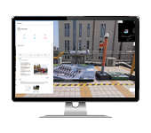
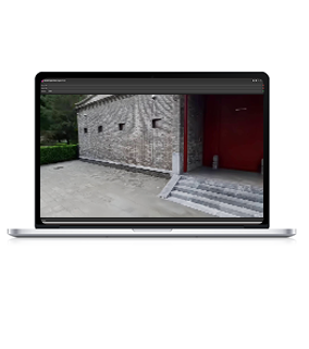
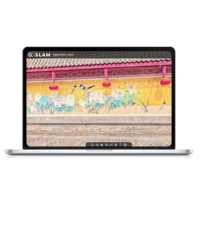
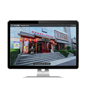
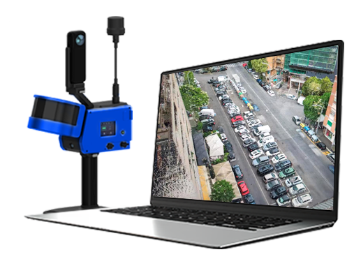
■ Digital and Visual 3D Model Generation: Directly output point cloud data, quickly generate site survey maps, roaming videos, on-site animation simulations, etc. through point clouds, and provide complete on-site conditions and physical evidence.
■ Data concatenation: The platform enables remote viewing, assisting in the display of traffic scenes and preservation of complete data and evidence chains (panoramic images, spatial point clouds, transcripts, videos, etc.).
Workflow

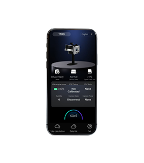
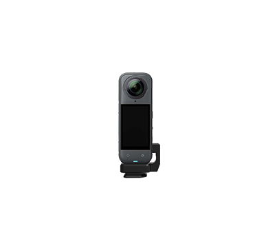
Data Collection
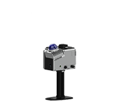
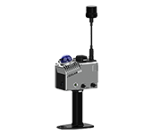
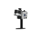
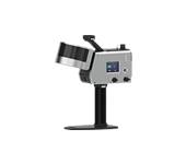
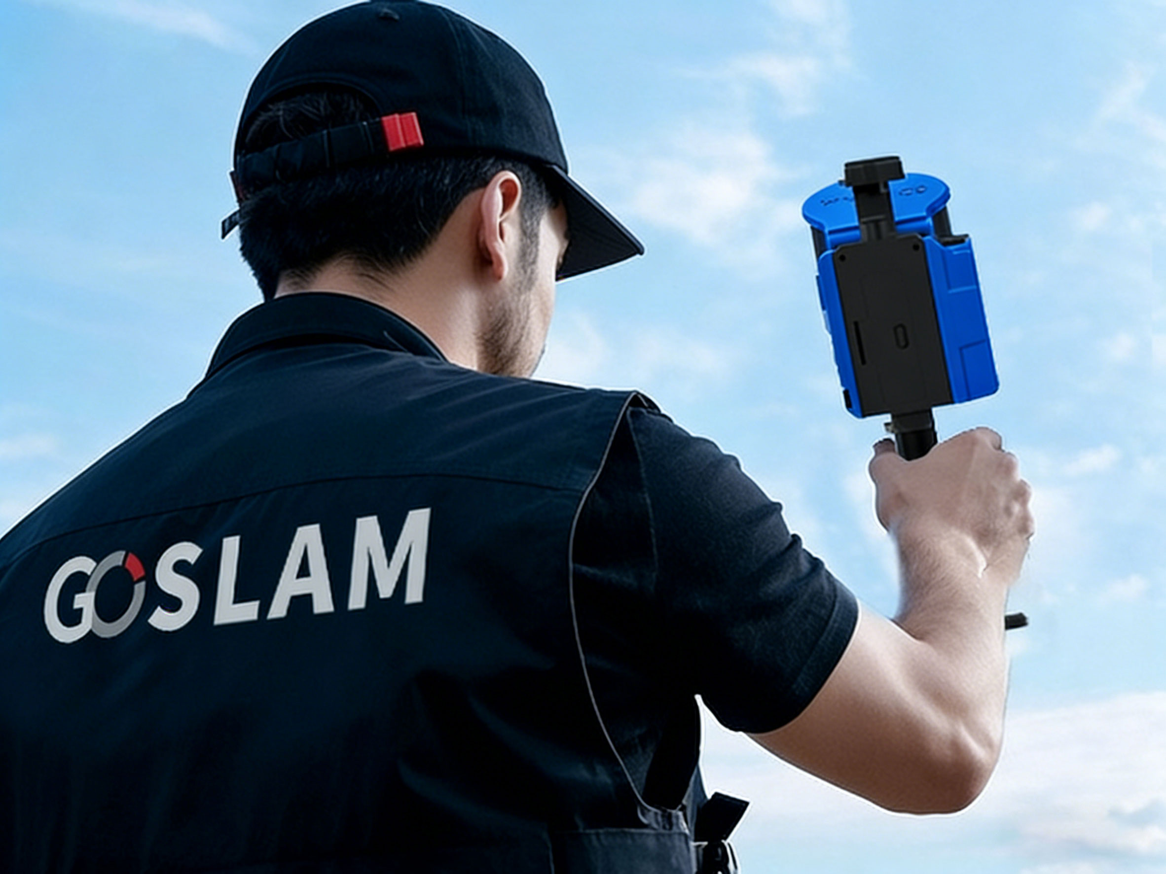
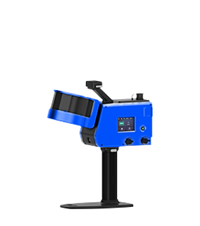
Assemble and power on the device, then use a mobile phone to remotely control the device for mobile data collection.
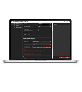
Data Processing
The device can be controlled to perform internal processing and automatically process data by the APP.
Result Export
Data can be exported via USB, network cable or WiFi.