


Real Estate Surveying
As architectural forms become increasingly complex and diverse, traditional 2D completion surveys and total station fixed-point surveying can no longer meet demand. 2D drawings lack architectural style and color information, and traditional surveying methods have problems such as small data volume, low efficiency, and significant errors in indoor and outdoor conversion. Mobile 3D laser scanning technology can quickly obtain high-precision point cloud data of buildings through non-contact measurement, accurately capture 3Dl information such as building surface details and cross-sectional shapes, significantly improve surveying efficiency and data quality, and provide a new digital solution for urban planning and management.
Industry pain points

Inefficiency
 For scenarios such as densely built-up areas, none-fly zones and indoor mapping, a large amount of equipment and personnel are required.

Large Amount of Personnels Requires
A single type of traditional surveying and mapping equipment is often unable to meet the diverse project requirements. It needs to configure a variety of different surveying and mapping equipment, thereby increasing the overall cost.

Difficult To Measure Complex Structures
Difficult to measure special-shaped structures/complex structures.

Data Result is Single
Traditional surveying and mapping results are limited to digital line drawings and cannot intuitively display the actual scene of the land.

Advantages and Value of GoSLAM Solution
-
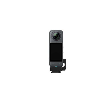
Data Collection
 High-precision 3D measurement solves the problem that traditional measurement cannot produce cross-sections
-
Easy To Operate
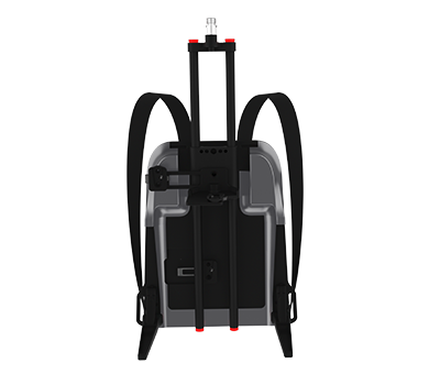
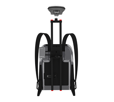
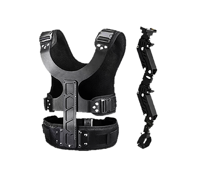
Single-person operation can quickly obtain 3D real-scene data and archive all-round data.
-
Ensure Data integrity and Used For Multi-purposes
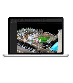
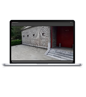
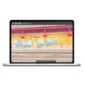
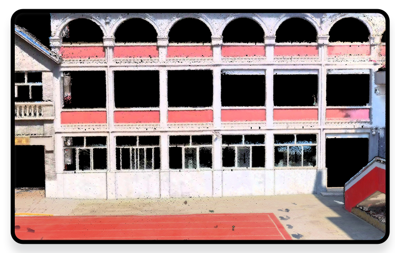
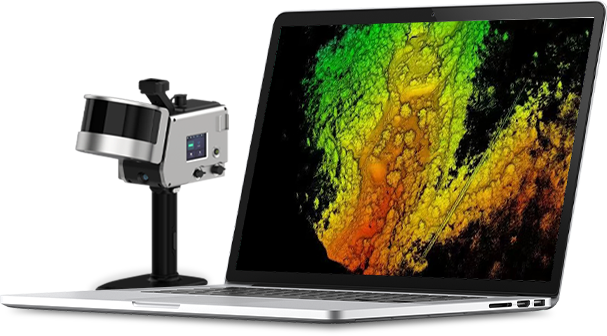
Can output plane, elevation, section, orthographic image, point cloud roaming video, 3D model, etc.
-
Strong Ability To Handle Complex Structures
Easily handle areas that are difficult to measure with traditional tools, such as curved walls, high roofs, and stairwells.

-
Intelligent Application Expansion
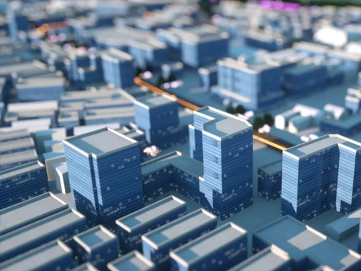
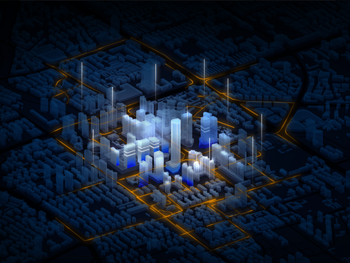
Digital Twin Compatibility: Real-life 3D visualization, seamless data connection with BIM/CIM platform, and support for full life cycle management of facilities.
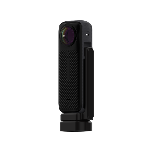
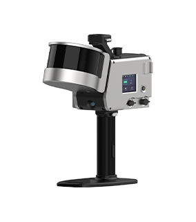
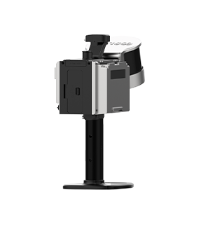
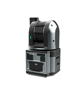
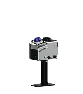
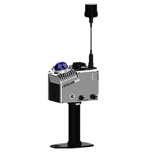
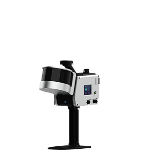
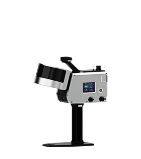
Solutions and Related Products
The GoSLAM mobile measurement system 3D scanner has significant advantages in real estate measurement, which can improve efficiency, accuracy and data comprehensiveness, especially in complex building structures and digital management needs.
Main Advantages:
■ High precision and Data Integrity: Laser scanning technology can capture subtle geometric features (such as beams, columns, and decorative lines) with much lower errors than traditional tape measurements.
■ Holographic Recording: Hundreds of thousands of data points are acquired in one second, covering all details of walls, doors, windows, pipelines, etc., avoiding omissions in manual measurement.
■ High Efficiency, Time saving and Fast Acquisition: Large residential or commercial buildings can be scanned in a few hours, while traditional methods may take several days.
■ Reduce Manpower: A single operator can complete complex spatial measurements, reducing labor costs and the risk of human error.
■ Strong Ability To Handle Complex Structures and Irregular Spaces: Easily handle curved walls, high roofs, stairwells and other areas that are difficult to measure with traditional tools.
■ Digital and Visual 3D Model Generation: Directly output point cloud data to generate BIM (Building Information Model) or CAD files for easy design, decoration or renovation.
■ Virtual Tour: Remote viewing is achieved through 3D models to assist in property display, dispute evidence collection or rental decision-making.
Workflow

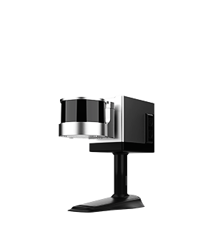
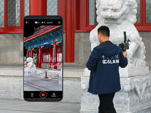
Data Collection
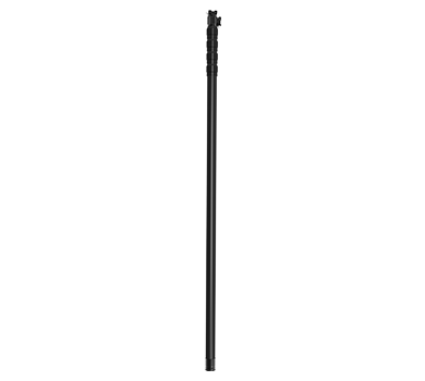
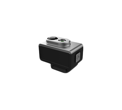
Assemble and power on the device, then use a mobile phone to remotely control the device for mobile data collection.
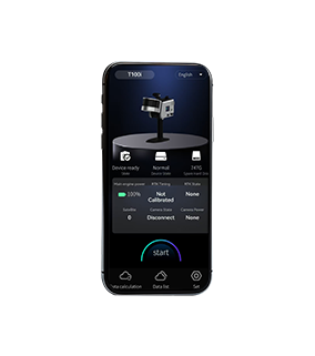
Data Processing
The device can be controlled to perform internal processing and automatically process data by the APP.
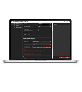
Result Export
Data can be exported via USB, network cable or WiFi.