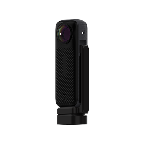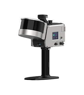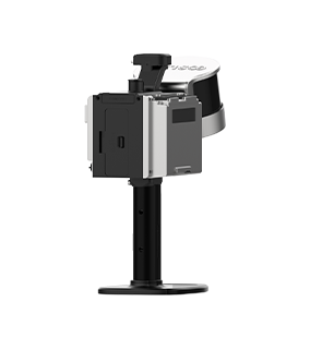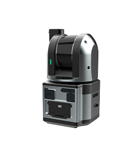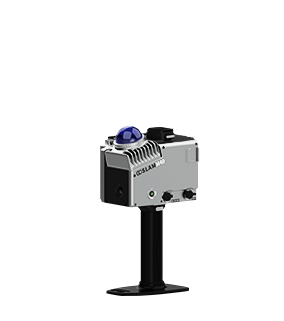
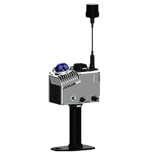

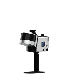
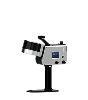

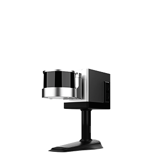
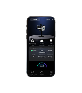
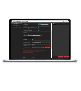
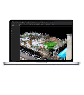
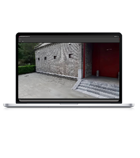
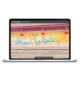
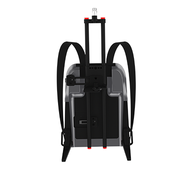
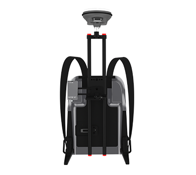
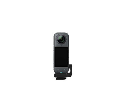
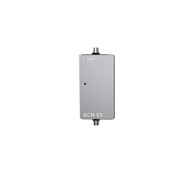
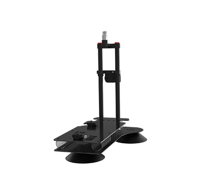


GoSLAM Products' System
Support your various business scenarios
GoSLAM products have been applied to more than 10 industries with hundreds of different scanning scenarios, mainly using in forestry, mining, panel materials calculation, tunnels, power and real estate measurement etc.Our team will always commit to offer global customers a mobile 3D laser measurement system product solutions with better user experience and working methods.

Pile Measurement
-
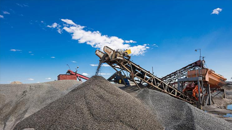
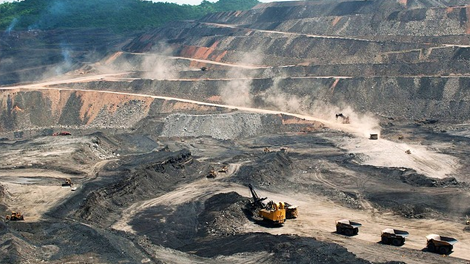
Ore Stockpile Metering
Quickly obtain 3D point cloud data of the pile and export volume report in one click.
-
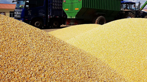
Grain Pile Measurement
Quickly obtain 3D point cloud data of the grain pile and export volume reports in one click.
-
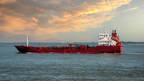
Sand Boats Measurement
Quickly obtain 3D point cloud data of sand boats and export full boat warehouse volume reports in one click.
-
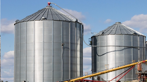
Silo Measurement
Quickly obtain 3D point cloud data of silos and export volume reports in one click.
-
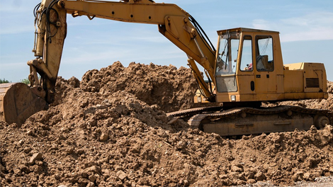
Earthwork Measurement
Quickly obtain 3D point cloud data of earthwork and export volume reports in one click.
Surveying and Geographic
-
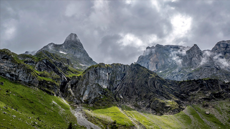
Topographic Surveying
3D Terrain Modeling of Mountains and Rivers To Generate High-precision Digital Elevation Models
-

Cadastral Surveying
Cadastral surveying focuses on the collection of core information such as land ownership, boundaries, and area.
-

Real Estate Surveying
3D Reconstruction of Street-level Real Scenes Helps To Assist Smart City Planning and Underground Pipeline Mapping.
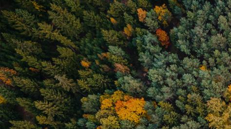
Forestry
-

Forestry Growth Measurement
Obtain The 3D Coordinates, Height, Crown Width and Other Information of Trees With One Click, and Then Calculate the Forest's Volume, Biomass and Other Key Information.
-
Digital Green Quantity Measurement
Rapidly Construct A 3D Model of The Forest To Analyze The Spatial Structure, Species Composition and Ecological Relationships of The Forest.

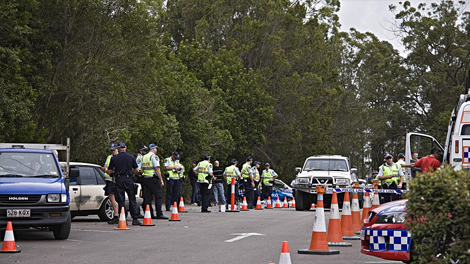
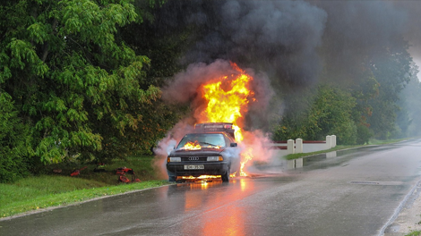
Public Safety and Emergency

More Ways to Explore