


Function Summary
-
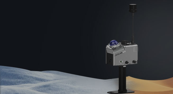
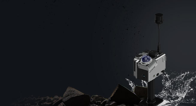
Weather Resistance
It has super weather resistance and can operate in an environment of -35℃ to 55 ℃.
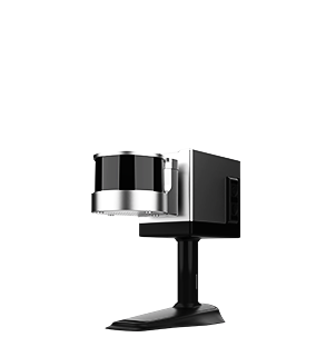
Fixed Laser Probe
It continues the fixed design of the laser, with a scanning range up to 70m (the farthest) and a point accuracy up to 1cm.
-
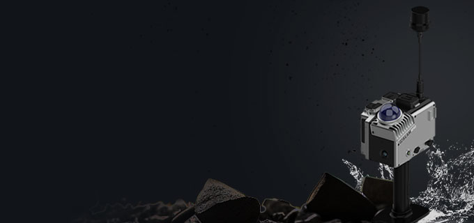
High Protection
It has a high level of protection against dust and water resistance which is suitable for various environments.

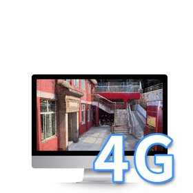
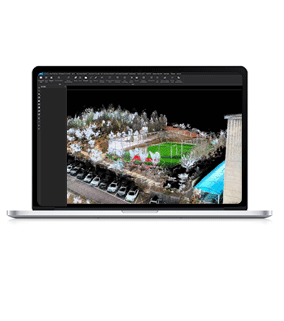
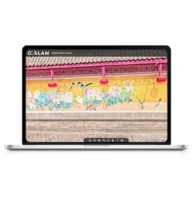
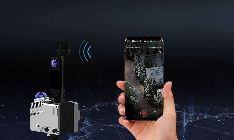
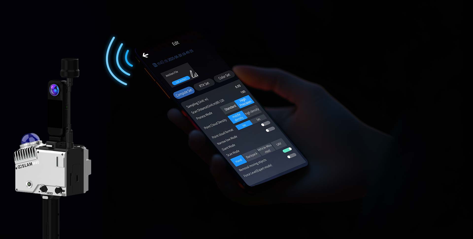
Real-Time Color Point Cloud
During scanning, the color point cloud data can be browsed in real time through the APP and it can be directly exported without processing.

-
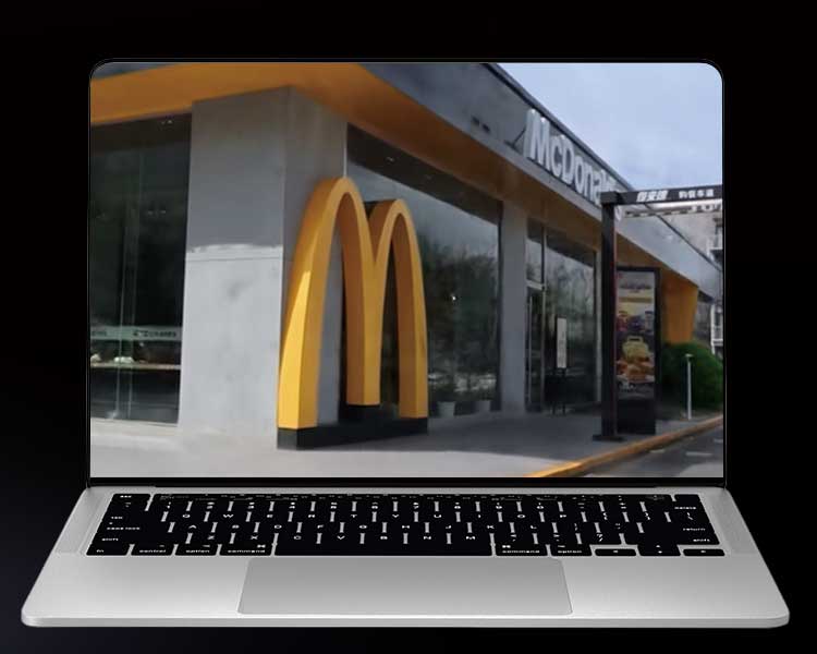
Real time color, precise presentation.
The built-in high-definition color image sensor can scan and present true color point cloud data in real time. It can also be matched with a 8K panoramic color module, so that the delicate and realistic data is as what you see it with your own eyes.
-
Built-In RTK, Precise Positioning
Built-In high-precision RTK makes map construction, geographic mapping and engineering surveying more convenient.
-
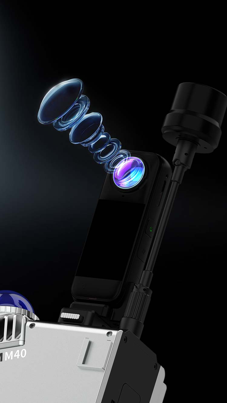
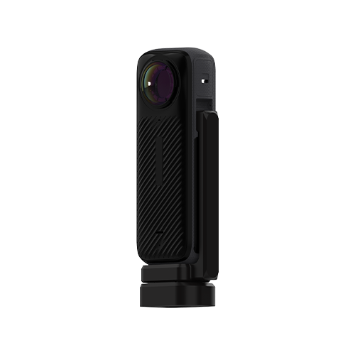
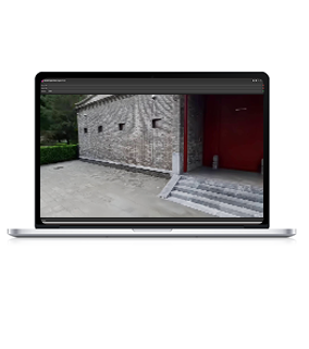
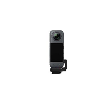
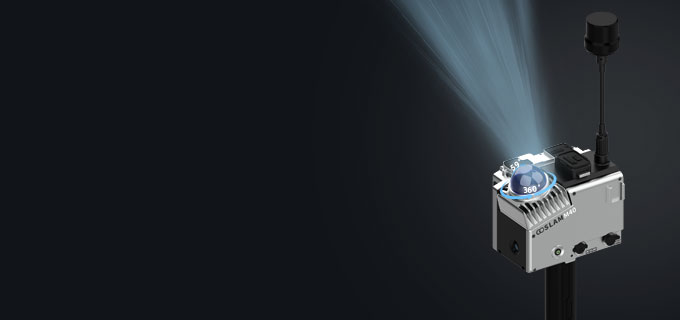
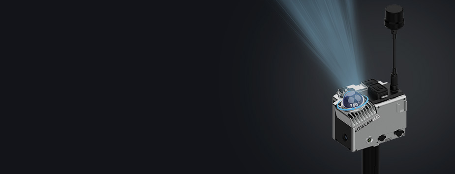
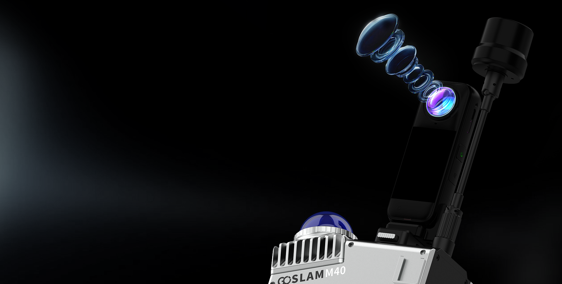
Independent Professional Panoramic Camera
The M40 RTK is equipped with an independent professional panoramic camera and three high-performance ISP processing chips. It integrates HDR high dynamic technology, color point cloud coloring and 360 ° seamless stitching function to achieve dynamic blur optimization and intelligent noise reduction working together. It has adaptive dimming ability in low light environments and is paired with millisecond level time synchronization, bringing a smooth immersive visual experience.
-
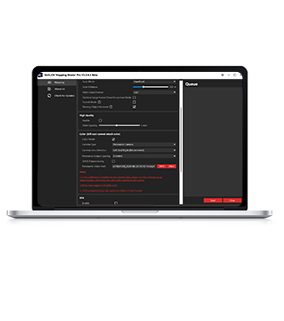
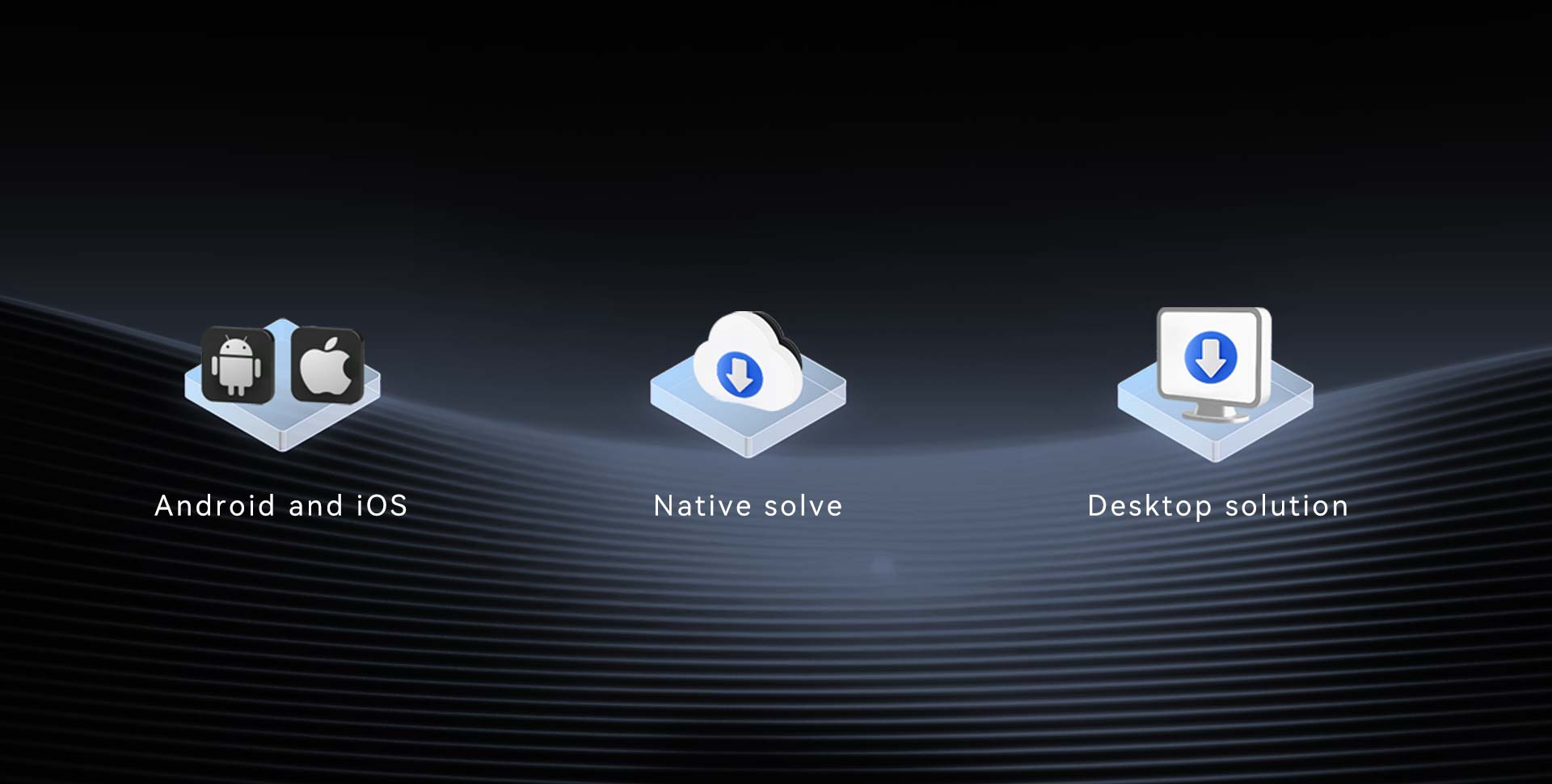
Host calculation
In the GoSLAM Manager app, high-precision post-processing can be performed through the M40 RTK host, supporting 2mm resolution technology.
-
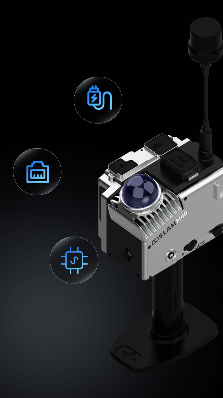
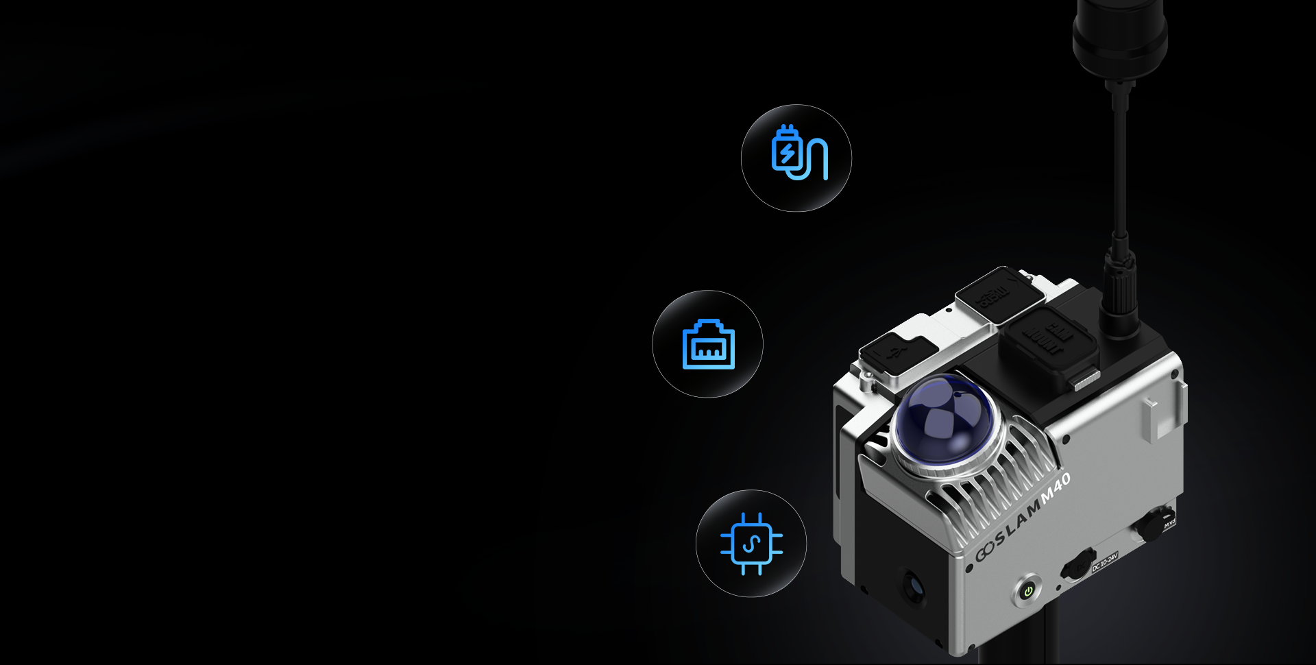
Open design
Open design, supports external power supply and Ethernet port output, also can provide GoSLAM SDK protocol.
-
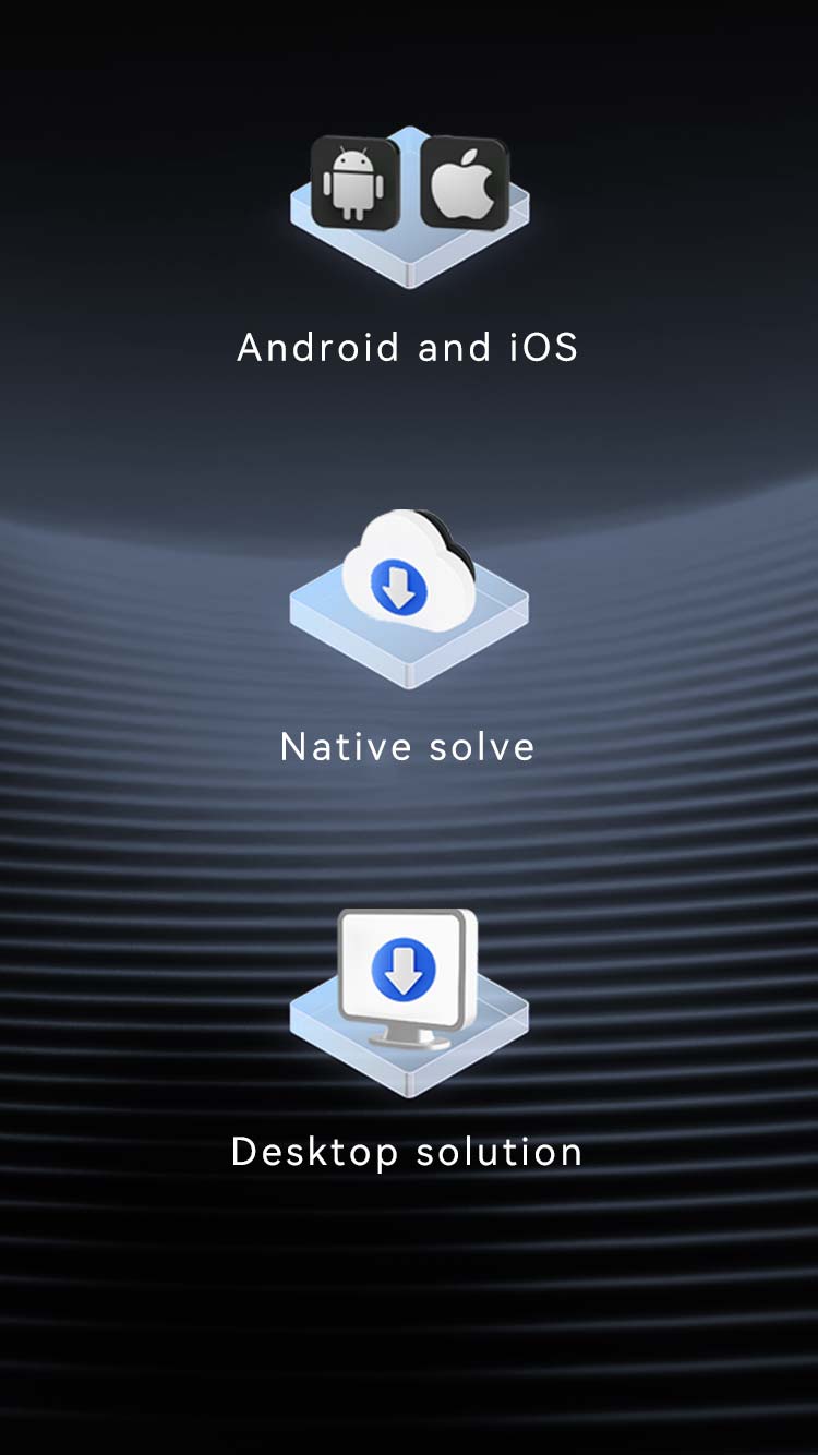
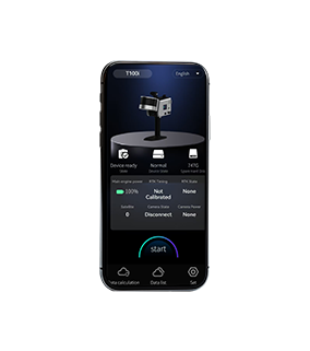
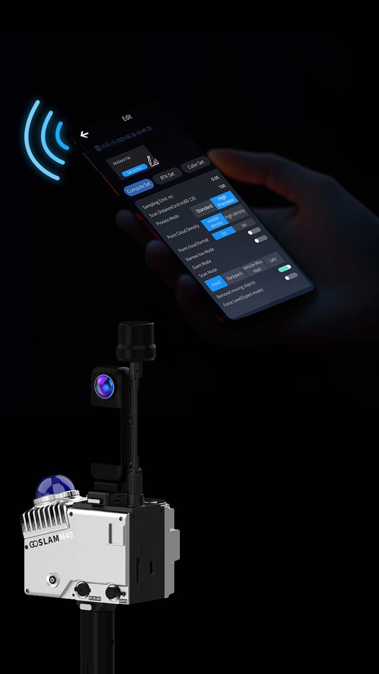
Platform Support, Easy Operation
Whether on Android or iOS systems, simply control the scanning with your phone, preview point clouds and data results in real-time, support high-precision post-processing dual-mode for both device and desktop, and meet the accuracy needs of different users.
-
3D Gaussian Digital Model
GoSLAM has launched a 3D Gaussian digital model, also known as a digital matrix software platform, which can quickly generate 3D Gaussian digital models and achieve fast high fidelity real-world browsing and deep interaction.
Various Scenarios
-
Ore Stockpile Metering
Quickly obtain 3D point cloud data of the pile and export volume report in one click.
-
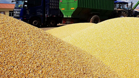
Grain Pile Measurement
Quickly obtain 3D point cloud data of the grain pile and export volume reports in one click.
-
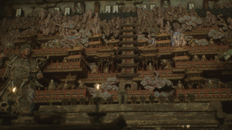
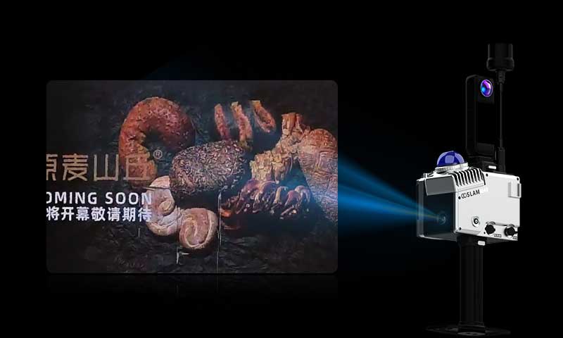
3D Digitalization of Film, Television and Game Scenes
Whether It Is Architectural Texture or Texture, It Can Be Accurately Restored, Presenting Realistic Visual Effects For Film, Television and Game Scenes.
-
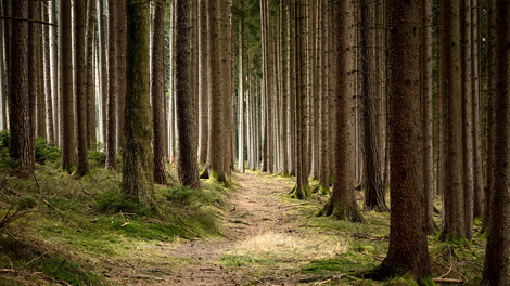
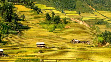
Forestry Growth Measurement
Obtain The 3D Coordinates, Height, Crown Width and Other Information of Trees With One Click, and Then Calculate the Forest's Volume, Biomass and Other Key Information.
-
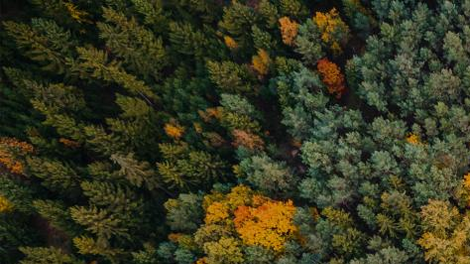
Digital Green Quantity Measurement
Rapidly Construct A 3D Model of The Forest To Analyze The Spatial Structure, Species Composition and Ecological Relationships of The Forest.
-
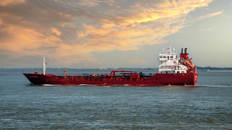
Sand Boats Measurement
Quickly obtain 3D point cloud data of sand boats and export full boat warehouse volume reports in one click.
-
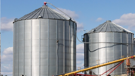
Silo Measurement
Quickly obtain 3D point cloud data of silos and export volume reports in one click.
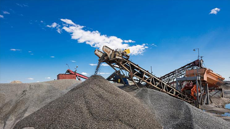
-
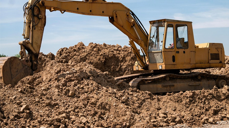
Earthwork Measurement
Quickly obtain 3D point cloud data of earthwork and export volume reports in one click.
-
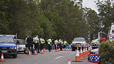
Crime Scene Reconstruction
-
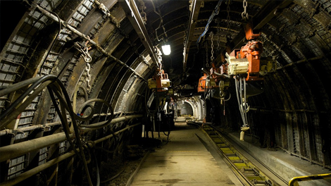
Mine Tunnel Measurement
Rapid Digital Scanning Of Mine Tunnels
-
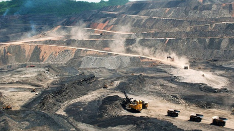
Open Pit Mine Surveying
Digital Scanning Of Open-Pit Mines
-
Accident Reconstruction
-
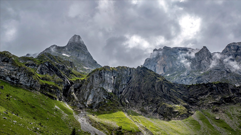
Topographic Surveying
3D Terrain Modeling of Mountains and Rivers To Generate High-precision Digital Elevation Models
-
Cadastral Surveying
Cadastral surveying focuses on the collection of core information such as land ownership, boundaries, and area.
-

Real Estate Surveying
3D Reconstruction of Street-level Real Scenes Helps To Assist Smart City Planning and Underground Pipeline Mapping.
More Products
-
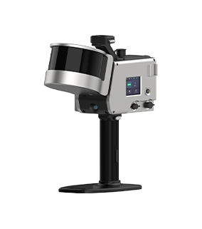
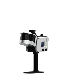
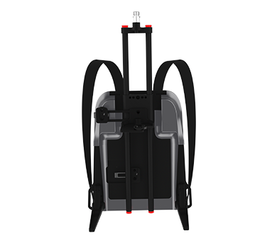
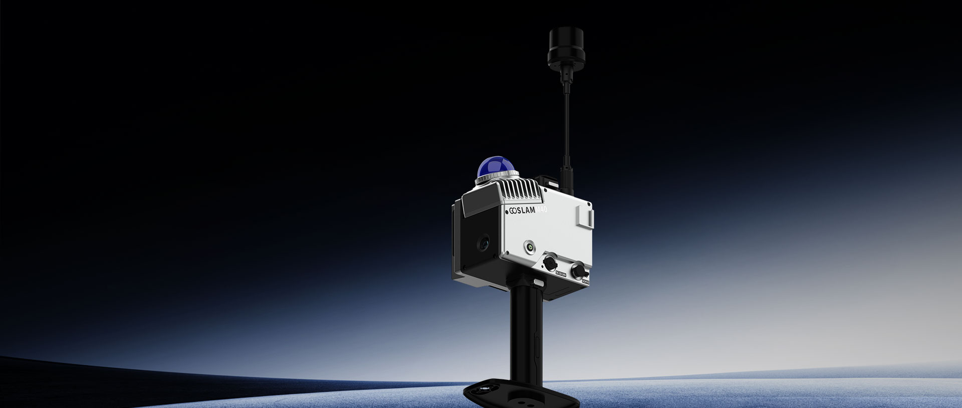
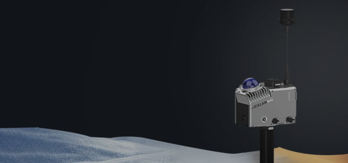
M40
Learn More Working Hours
2.5H(Without Color Module)
Mapping TechnologyFourth Generation
Point Accuracy1cm(Highest)
Point Resolution Enhancement2mm(Highest)
Scanning Range40m (10% reflectivity) -70m(80% reflectivity)
Scanning Speed200,000 PTS/Sec
Video Resolution8K
-
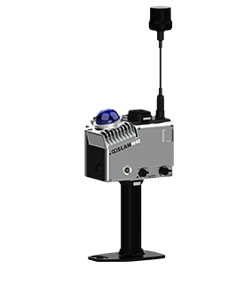
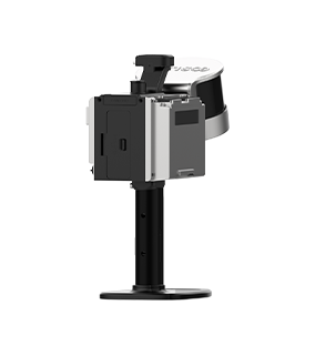
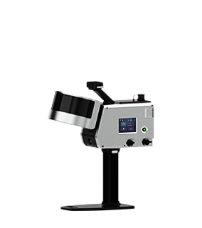
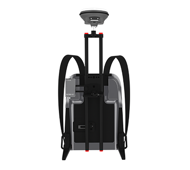
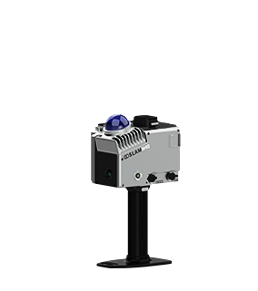
M40 RTK
Learn More
Working Hours2.5H(Without Color Module)
Mapping TechnologyFourth Generation
Point Accuracy1cm(Highest)
Point Resolution Enhancement2mm(Highest)
Scanning Range40m (10% reflectivity) -70m(80% reflectivity)
Scanning Speed200,000 PTS/Sec
Video Resolution8K