


-
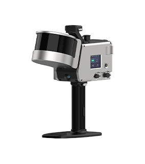
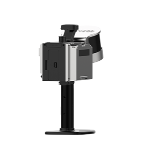
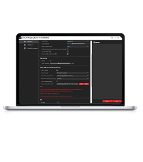
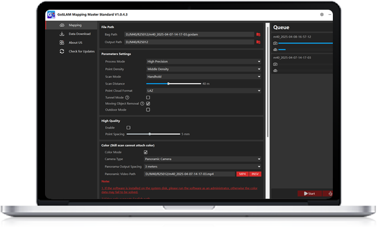 GoSLAM Mapping Master Standard
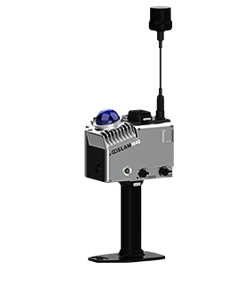
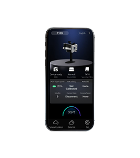
GoSLAM Mapping Master Standard is only for M40 series
Retract
GoSLAM Mapping Master Standard V1.0.7.4 Version
Update content:
1. Optimized the data accuracy of RTK data recovery after prolonged interruption
-
 Retract
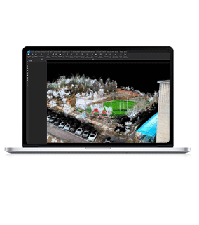
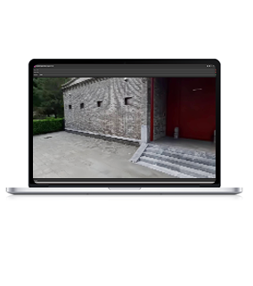
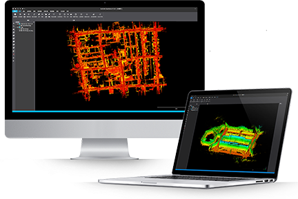
GoSLAM LidarWorks V3.6.0 Version
UPDATE
1.Basic function
1.1 Add line segment clipping
1.2 Add Scalar field filter
1.3Coordinate Projection、Registration 、Transformation、Manual Transformation support the positioning and posture of panorama points、Synchronize transformation with point cloud
2. Coordinate Convert2.1 Optimize Calculate 7 Parameters
2.2 High speed conversion
2.3 Improve coordinate convert speed
2.4 Level file Support ISG format
3.Forestry Module
3.1 Optimize Ground Extraction and Point cloud normalization
3.2 Add Point cloud Height Denormalization
3.3 Individual tree segmentation results preserve ground points
3.4 Add crown volume calculation of individual trees
3.5 Support large coordinate output
4.Mining Industry Function
4.1 Extract Center Line
4.2 Optimize Extract Center Line
5. Modeling Function
5.1 Supports large coordinate output

-

-
Service Support
If you need any help, please feel free to contact us at any time
 Tel
Tel400-696-7816
 Email
Emailmarketing@goslam.com