


-

Why is the error in the processed data high?


1. The control points during scanning should correspond one to one with the control points on site.
2. High error control points will reduce the overall accuracy and should be removed.
3. The control points should not be set on a straight line.
-
Will using high-precision processing consume more resources?
1. A high-precision solution will increase the solution time.
2. High-precision solutions will increase the amount of generated data.
-
Why is the data incorrect after coordinate conversion?
1. Check if the input central meridian is in the format of "degrees, seconds, minutes";
2. Whether both anchor point function and RTK are enabled.
3. If the problem is not as mentioned above, please contact official technical support.
-
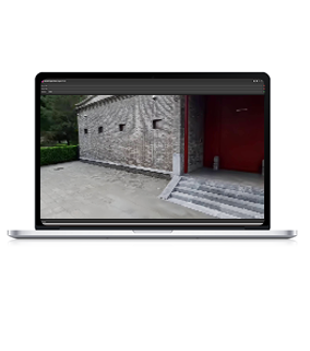
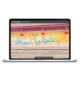
What is the reason for colorizing failure?
1. Panoramic video: Check if the Insta camera is in time-lapse mode and make sure it is moving during the capture.
2. Check the software installation path. If the software is installed on the system disk, you need to use administrator privileges to start it.
3. Video content: Check whether the panoramic video has large-scale overexposure or dark scenes.
4. If the problem is not as mentioned above, please contact official technical support.
-
How to unbind the GoSLAM LidarWorks software?
1.Open the LidarWorks post-processing software and click the license option
2.Click the Unbind button
3.After the unbinding is successful, the authorization code can continue to be used for activation without having to apply for the authorization code again. -
Why is the data incorrect after coordinate conversion?
1. Check if the central meridian input is in the format of degrees seconds minutes.
2. Compare the global offsets of the data to see if they are consistent. If they are inconsistent, use the global offset function to unify them.
3. If the problem is not as mentioned above, please contact official technical support.

-

-
Service Support
If you need any help, please feel free to contact us at any time
 Tel
Tel400-696-7816
 Email
Emailmarketing@goslam.com