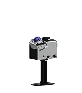
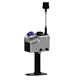

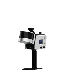
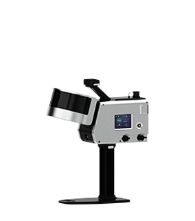


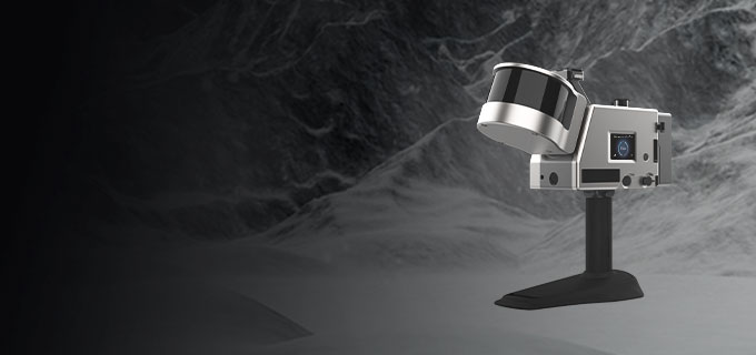
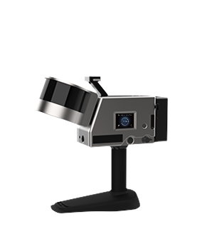
Function Summary
-
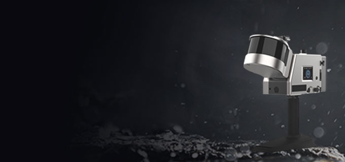
Weather Resistance
Designed with weather-resistant capabilities, it operates reliably in temperatures ranging from -35°C to 60°C.
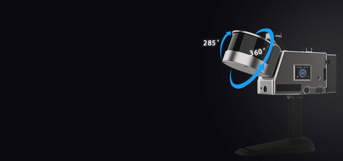
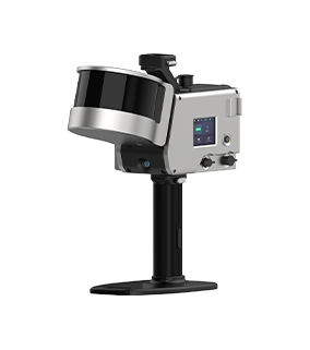
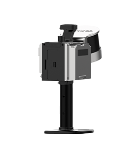
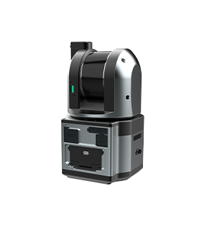
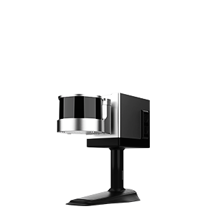
Rotating Laser Probe
Features a vertically rotating laser design with a scanning radius of 120m (maximum).Point accuracy of up to 1cm.
-
High Protection
Equipped with high dust and water resistance, making it suitable for various environments.

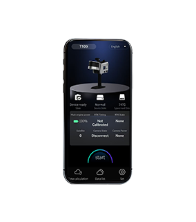
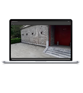
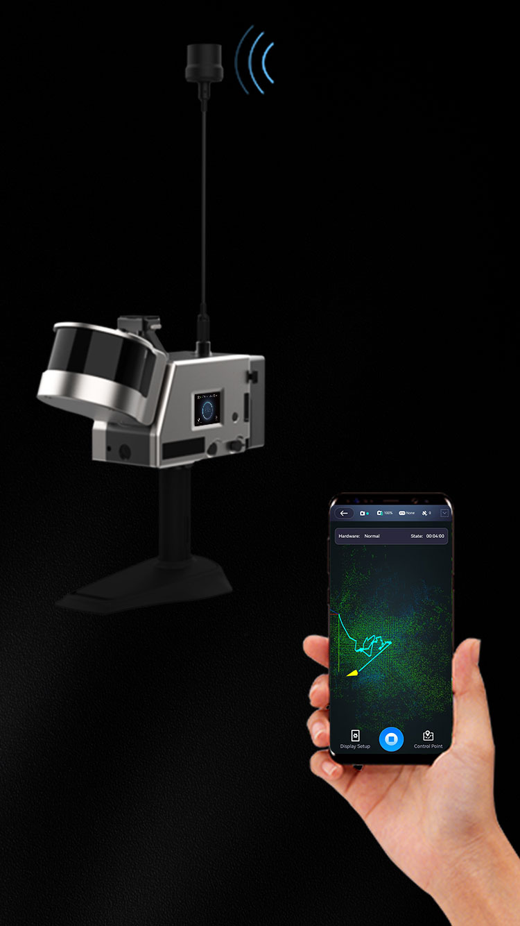
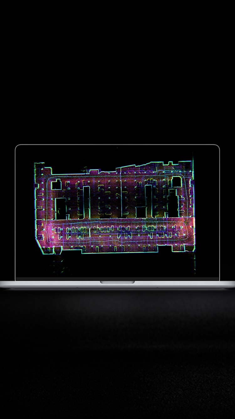
Real-time preview
The GoSLAM application allows real-time preview of point cloud data, monitors equipment status and provides convenient control over operations.


-
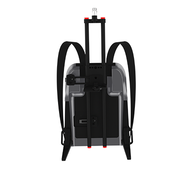
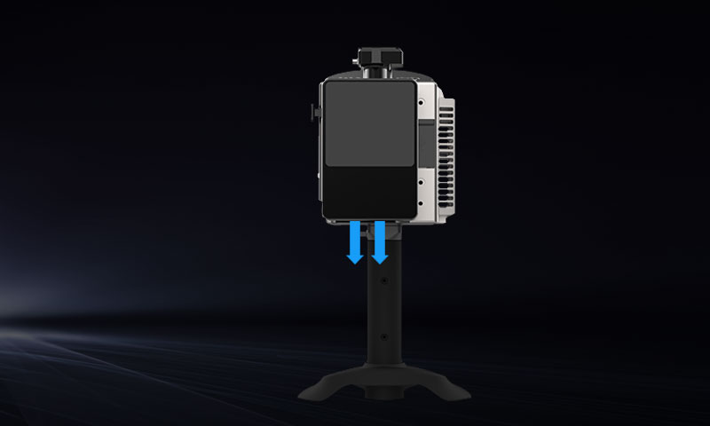
Portable Quick-Release Battery
GoSLAM uses a portable quick-release battery that displays remaining power in real time and supports fast plug-and-play installation.
-
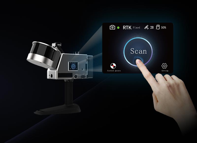
Color Touchscreen
Features a new color touchscreen display that shows device status information and provides operational guidance, making it easier to use and more user-friendly.
-
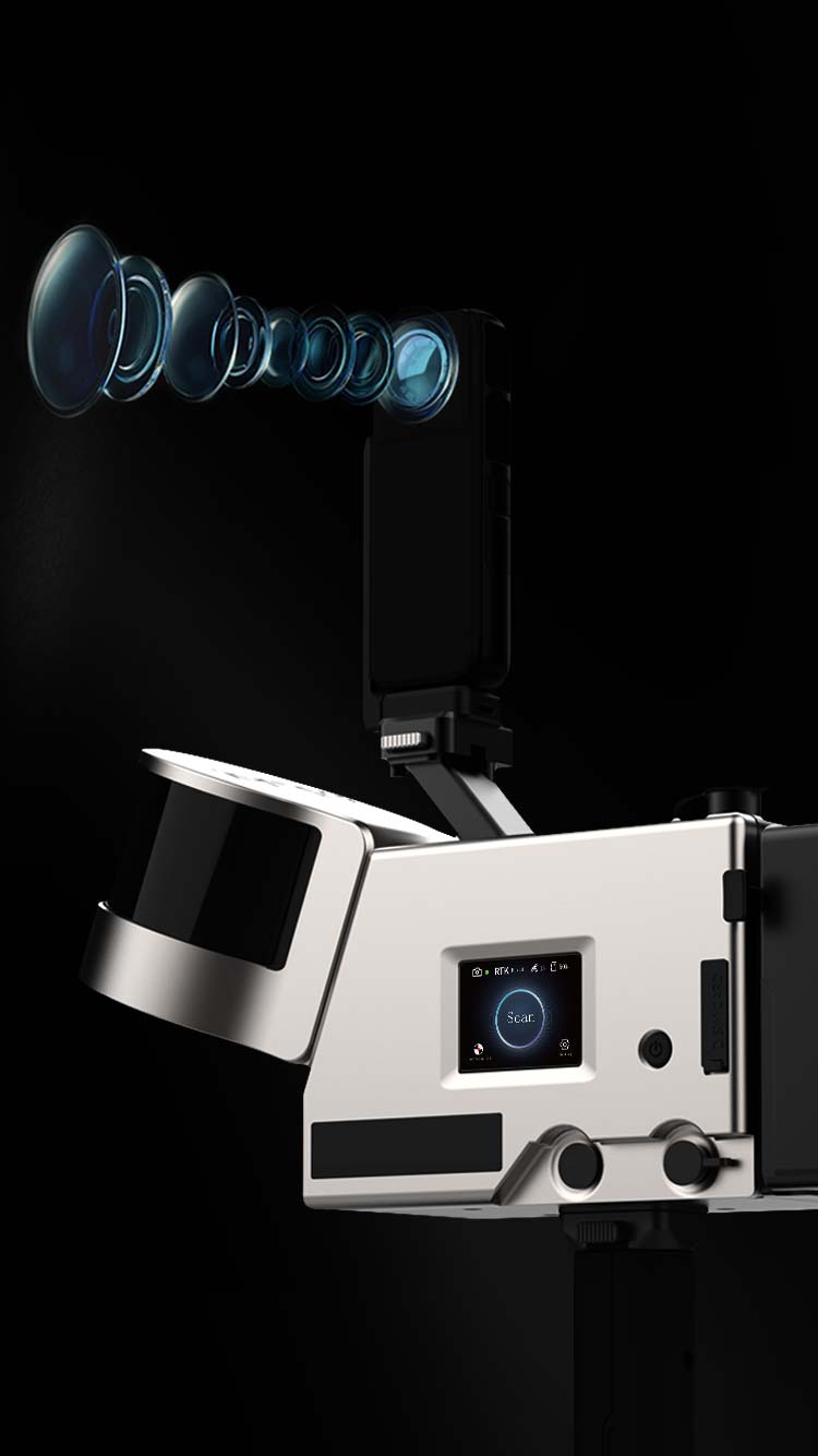
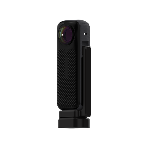
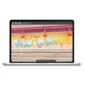
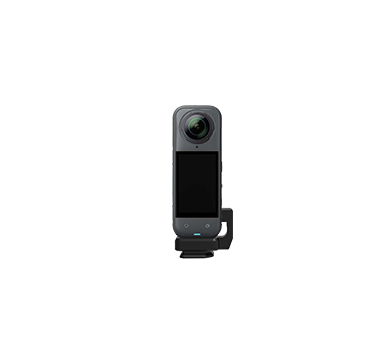
Dedicated Professional-Grade Panoramic Camera
The T-series is equipped with an independent professional-grade panoramic camera, featuring two high-performance ISP processing chips. Integrated with HDR high dynamic range technology, colored point cloud visualization, and 360° seamless stitching, it delivers dynamic blur optimization and intelligent noise reduction. it offers a smooth and immersive visual experience.
-
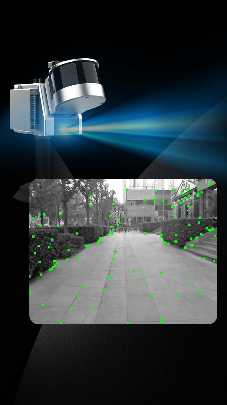
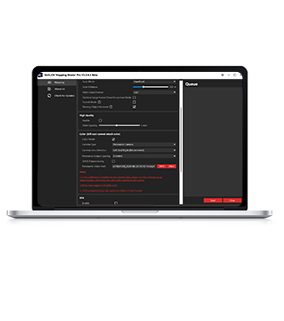
Visual SLAM
Built-in high-resolution visual SLAM module simultaneously captures visual imagery and enables high-precision mapping through visual SLAM technology.
-
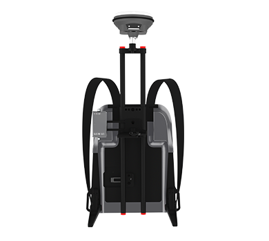
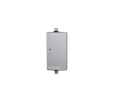
RTK Module
The T100 RTK, equipped with built-in RTK technology, supports 3D data acquisition for various scenarios such as urban planning, environmental monitoring, and heritage building documentation. It directly captures high-precision georeferenced coordinate data.
-
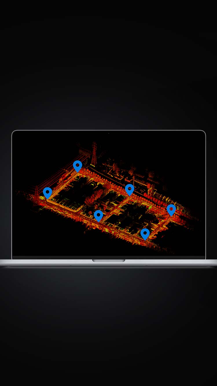
Anchor Point Adjustment Function
Its unique anchor point adjustment algorithm ensures accuracy and stability in large-scale, low-feature, and challenging environments (both indoor and outdoor).
-
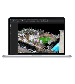
Fourth-Generation Mapping Technology
Leveraging GoSLAM's powerful fourth-generation mapping technology, it guarantees high-quality data output and supports deliverables with precision up to 2mm.


More Products
-

T50 RTK
Learn More Point Accuracy
1cm (Highest)
Point Resolution2mm(Highest)
Scanning Range50m
Scanning Speed320,000 PTS/Sec
Laser ClassClass 1(Eye Safety Level)
Laser Wavelength905nm
Scanning FOV360°×285°
Video Resolution8K
-
T100 Pro RTK
Learn More
Point Accuracy1cm (Highest)
Point Resolution Enhancement2mm(Highest)
Scanning Range120m
Scanning Speed640,000 PTS/Sec
Laser ClassClass 1
Laser Wavelength905nm
Scanning FOV360°×285°
Video Resolution8K
-
T300 Pro RTK
Learn More
Point Accuracy1cm (Highest)
Point Resolution Enhancement2mm(Highest)
Scanning Range300m
Scanning Speed640,000 PTS/Sec
Laser ClassClass 1
Laser Wavelength905nm
Scanning FOV360°×285°
Video Resolution8K