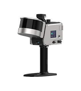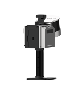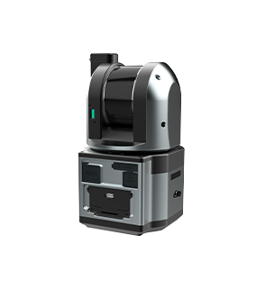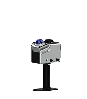
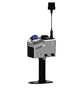


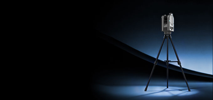
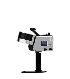
Function Summary
-
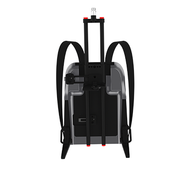
Weather Resistance
It has super weather resistance and can operate in an environment of -35℃ to 55 ℃.

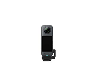
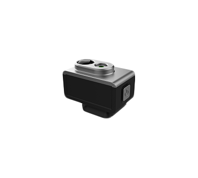
8K HDR Color Module (Optional)
Integrated with high-definition imaging and compatible with 8k HDR modules,It delivers outstanding color performance in both bright and dark environments.
-

Independent Airflow Cooling System
Independent airflow design for better cooling, ensuring the device runs steadily for a long time.

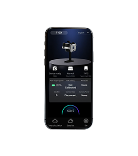
Mobile APP
Supports android/ios systems,Real-time view of scanned site associations and scanned point cloud.


-
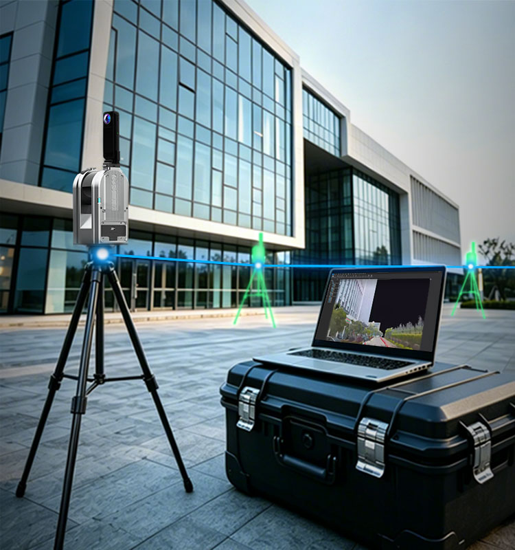
High Precision and High Efficiency Data Acquisition
Maintaining the high precision advantage of static scanners and ensures data reliability; data collection efficiency is increased by 80% compared to traditional equipment, significantly reducing field operation time.
-

Real-time Splicing Preview No Manual Intervention Required
Supports real-time preview of site composition relationships, eliminating the need for manual rough composition assistance;this can be completed locally inside the device;instantly obtain location relationships and promptly supplement missing sites.
-
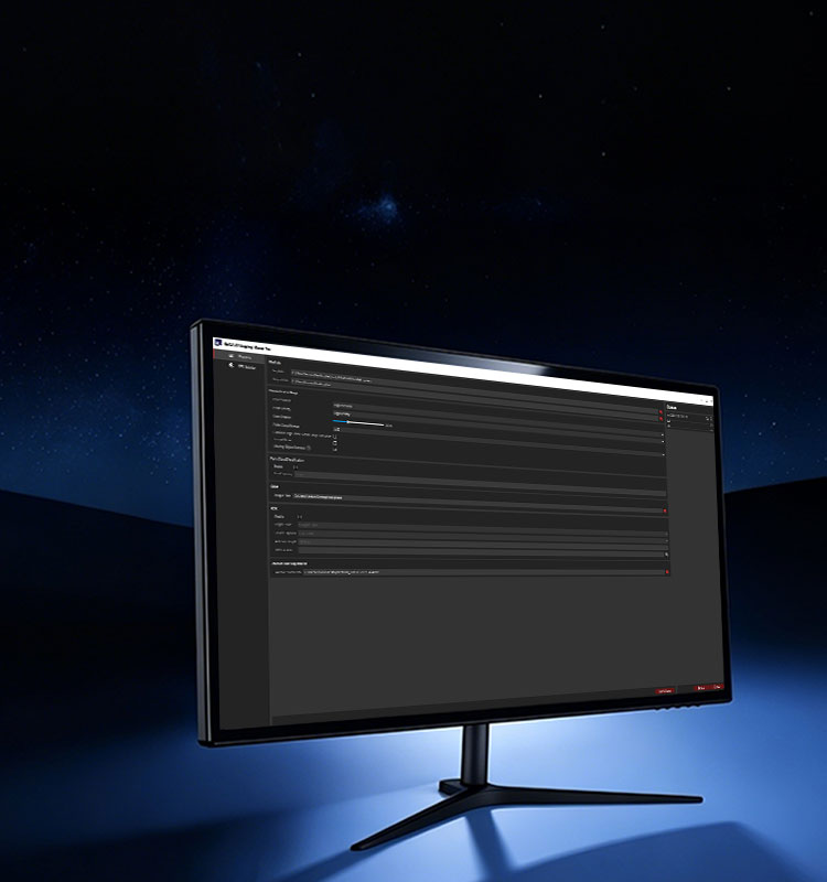
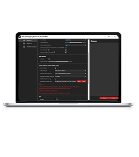
One-click Data Calculation Software Process
Equipped with desktop one-stop processing software;it supports automatic data splicing, anchor point-assisted to optimize accuracy, moving object filtering, ppk, rtk, data fusion, etc., to meet the needs of professional applications.
-
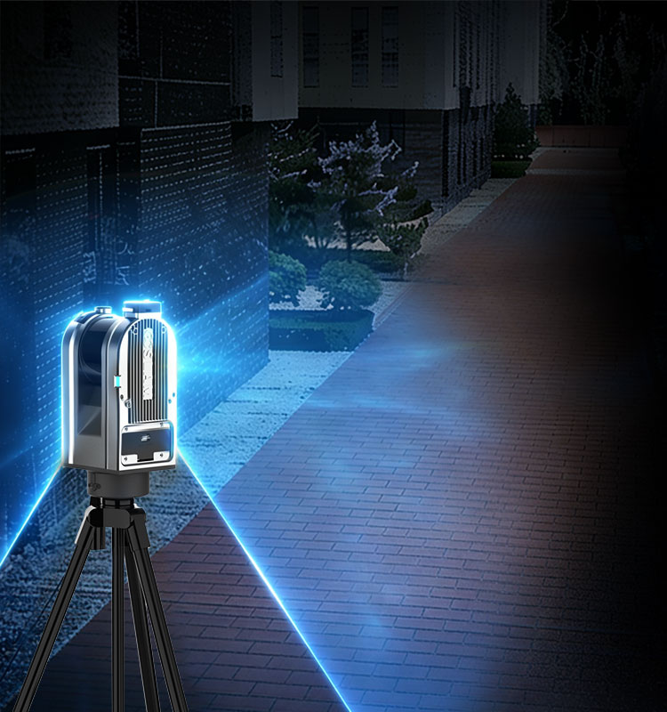
Splicing-Free Technology
Fully automatic splicing, requiring no manual intervention throughout the entire process;significantly lowering the barrier to entry, professional scanning becomes easy to use. Laser slam technology is being used for splicing between sites,automatically completing global registration from start to finish, with data being scanned and merged instantly.
-
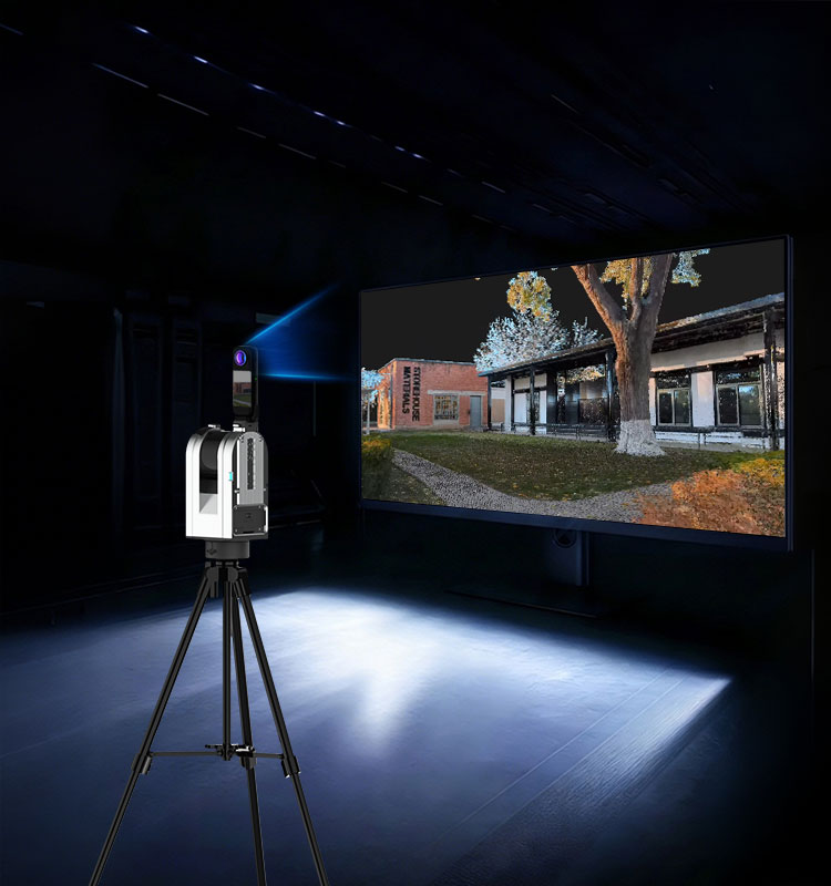
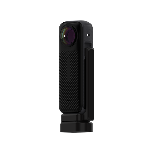
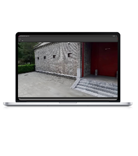
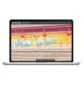
8K HDR Color Camera and True Color Point Cloud Effect
Equipped with an 8k panoramic camera,it can provide users with panoramic high-definition images with a maximum resolution of 72 million pixels and supports point cloud colorizing.
-
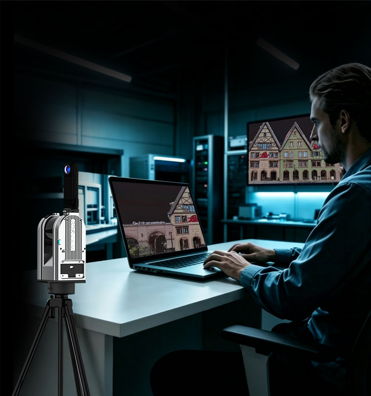
Image & Point Cloud Automatic Registration and Alignment Technology
Even though there is slight difference in the installation position of the camera each time, the automatic registration and alignment function of image & point cloud eliminates the need for manual registration.
-
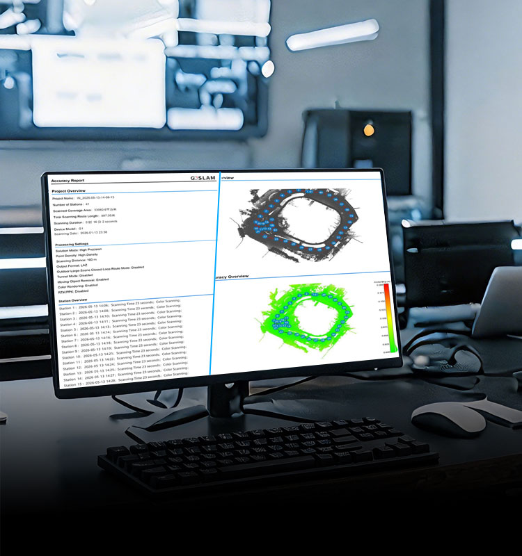
Automatically Generate Project Overview and Site Accuracy Report
After merging and splicing, an accuracy report can be automatically generated, providing a reliable accuracy reference for the data results.All data accuracy is quantifiable and verifiable, supporting site-level accuracy backtracking and optimization, and quality is traceable throughout the entire path.
-
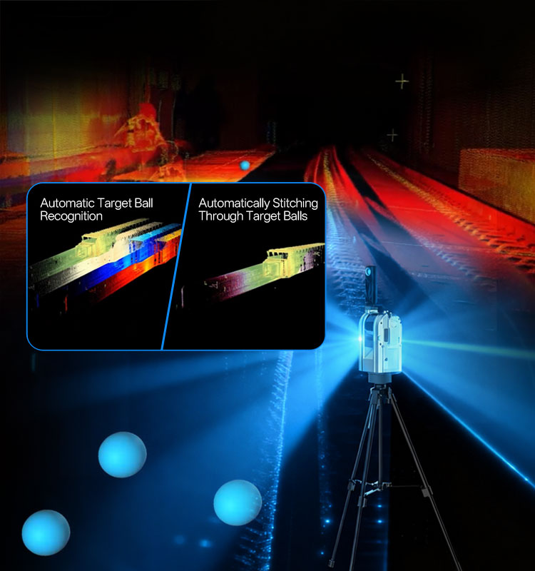
Target Ball Automatic Recognition
Not afraid of low-feature environments, supports target sphere splicing technology; one-click target sphere recognition, one-click automatic splicing,easily handling challenging environments.
-
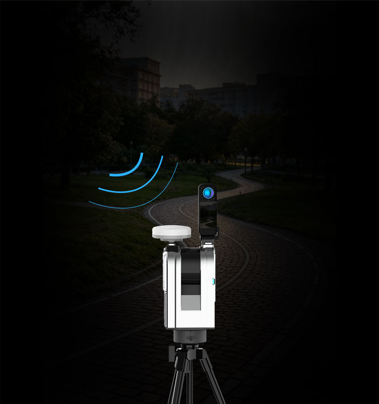
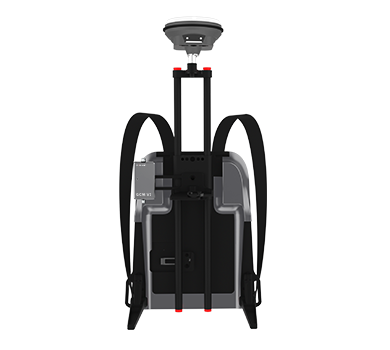
Built-in RTK/PPK Dual- mode Positioning Module
The device comes with a built-in rtk/ppk dual-mode positioning module and a quick-mount GNSS antenna. It supports multi-constellation,multi-frequency satellite signals, has strong anti-interference abilities, and can still provide stable solution even in obstructed environments.After scanning, all data comes with high-precision absolute co-ordinates (large coordinates), no control points are needed, and results can be obtained directly in the field.
-
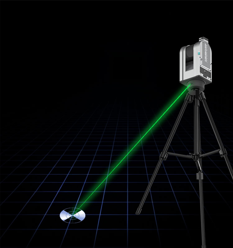
Laser Control Point Coordinate Transformation
Using a visible light laser pointer, it can achieve high-precision ground control point coordinate conversion. Move the scanner's laser pointer to the control point, and after scanning, input the large coordinate information to directly generate iarge coordinate data, complete with absolute geographic information.


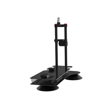
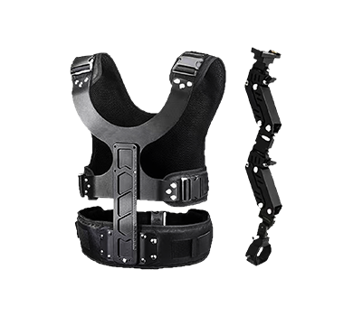
More Products
-
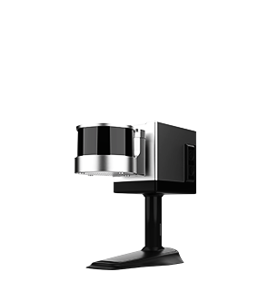
T100i
Learn More Point Accuracy
1cm (Highest)
Point Resolution Enhancement2mm(Highest)
Scanning Range0.35m-120m
Channels16
Scanning Speed320,000 PTS/Sec
Laser ClassClass 1
Scanning FOV360°×285°
Video Resolution8K
-
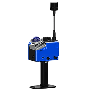
T100i Pro
Learn More
Point Accuracy1cm (Highest)
Point Resolution Enhancement2mm(Highest)
Scanning Range0.35m-120m
Channels32
Scanning Speed640,000 PTS/Sec
Laser ClassClass 1
Scanning FOV360°×285°
Video Resolution8K
-
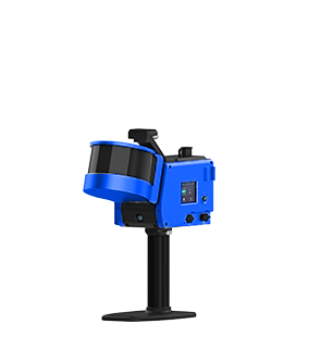
T300i Pro
Learn More
Point Accuracy1cm (Highest)
Point Resolution Enhancement2mm(Highest)
Scanning Range0.35m-300m
Channels32
Scanning Speed640000 PTS/Sec
Laser ClassClass 1
Scanning FOV360°×285°
Video Resolution8K